Vigia (mountain)
| Vigia | |
|---|---|
 Vigia northwestern Boa Vista island, Cape Verde | |
| Highest point | |
| Elevation | 146 m (479 ft) |
| Coordinates | 16°12′44″N 22°54′45″W / 16.2121°N 22.9125°WCoordinates: 16°12′44″N 22°54′45″W / 16.2121°N 22.9125°W |
| Geography | |
| Location | northwestern Boa Vista island, Cape Verde |
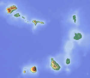
Vigia is a low mountain in the northwestern part of the island of Boa Vista, Cape Verde. Its elevation is 146 m. It is situated 4 km north of the island capital Sal Rei, and 2 km south of the headland Ponta do Sol. The mountain is of volcanic origin.[1]
Along with Ervatão, it is part of the Ponta do Sol Nature Reserve covering 467 hectares of land and sea.
Its rock formation features a terraced system as does on other parts of the island's south, it consists of pleistocene rocks.
See also
References
- ↑ Áreas protegidas, Cabo Verde (Portuguese)
This article is issued from Wikipedia - version of the 11/4/2016. The text is available under the Creative Commons Attribution/Share Alike but additional terms may apply for the media files.
