Ponta do Leme Velho
| Ponta do Leme Velho | |
|---|---|
|
Ponta do Leme Velho, its location is in the extreme southeast of the island | |
 | |
| Location | Southeastern Sal, Cape Verde |
| Coordinates | 16°35′32″N 22°53′13″W / 16.5921°N 22.887°WCoordinates: 16°35′32″N 22°53′13″W / 16.5921°N 22.887°W |
| Offshore water bodies | Atlantic Ocean |

Ponta do Leme Velho (Sal Creole: Ponta do Lème Bedj) is a headland on the southeast coast of the island of Sal, Cape Verde. It is about 2 km east of the town of Santa Maria.
The peninsular area wasn't started urbanization until the 1990s, a large population growth and a rise in tourism has houses and buildings in the west together with resorts and villas. The Estrada de Ponta do Leme Velho, a track exists and urbanization and touristic development did not reach the promontory.
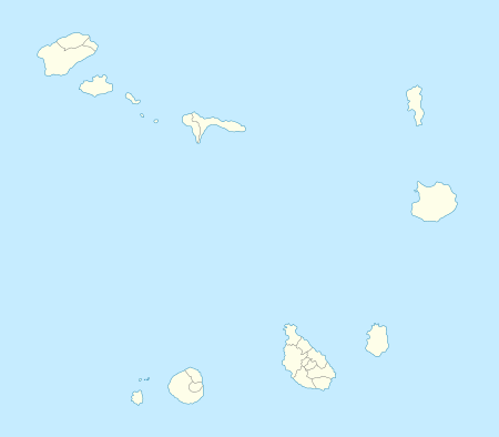
The island of Sal, Cape Verde | ||
|---|---|---|
| Settlements | 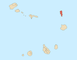 | |
| Parishes | ||
| Points and promontories | ||
| Lighthouses |
| |
| Other geographical features | ||
This article is issued from Wikipedia - version of the 12/4/2016. The text is available under the Creative Commons Attribution/Share Alike but additional terms may apply for the media files.