Ponta Preta (Southern Sal)
| Ponta Preta do Sul | |
|---|---|
|
Ponta Preta, its location is in the further southwest of the island | |
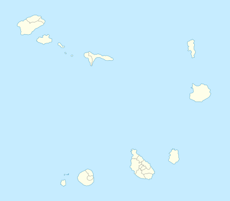 | |
| Location | Southern Sal, Cape Verde |
| Coordinates | 16°36′21″N 22°55′47″W / 16.6057°N 22.9297°WCoordinates: 16°36′21″N 22°55′47″W / 16.6057°N 22.9297°W |
| Offshore water bodies | Atlantic Ocean |
| Length | 1 km |
| Area | 500 ha |

Ponta Preta (Portuguese meaning "black tip") is a headland in the southwest of the island of Sal in Cape Verde. It is about 2 km west of the town Santa Maria and about 1 km of Ponta do Sinó and its lighthouse.
In around 2007 and 2009, new hotels, resorts and villas had been developed and a secondary road was completed and with a few roundabouts connects the road connecting the town and Ponta do Sinó and the Espargos-Santa Maria Road. Desert sands and bushes remain in the mid portion of the area of the point.
The island of Sal, Cape Verde | ||
|---|---|---|
| Settlements | 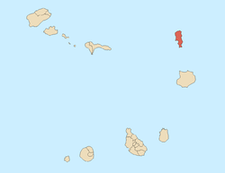 | |
| Parishes | ||
| Points and promontories | ||
| Lighthouses |
| |
| Other geographical features | ||
This article is issued from Wikipedia - version of the 12/5/2016. The text is available under the Creative Commons Attribution/Share Alike but additional terms may apply for the media files.