Greene–Sullivan State Forest
| Greene–Sullivan State Forest | |
|---|---|
|
IUCN category VI (protected area with sustainable use of natural resources) | |
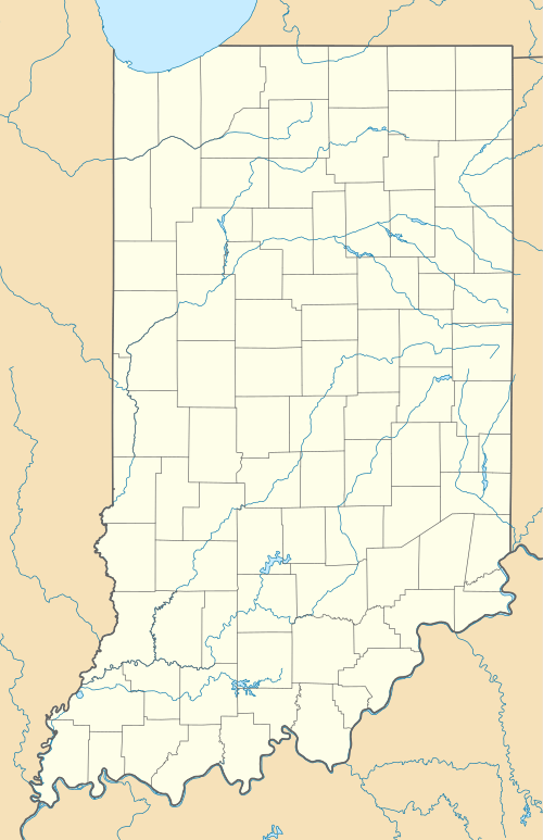
 Map of the U.S. state of Indiana showing the location of Greene-Sullivan State Forest | |
| Location | Greene and Sullivan Counties, Indiana, USA |
| Nearest city | Dugger, Indiana |
| Coordinates | 38°59′10″N 87°14′37″W / 38.98611°N 87.24361°WCoordinates: 38°59′10″N 87°14′37″W / 38.98611°N 87.24361°W |
| Governing body | Indiana Department of Natural Resources |
Greene–Sullivan State Forest is a state forest in Dugger, Indiana. The forest was founded in 1936 after the Indiana Department of Natural Resources received over 3,000 acres (1,200 ha) of land from coal firms; it now contains over 9,000 acres (3,600 ha), including over 120 lakes. The forest provides fishing, camping, hunting, and horseback riding.[1]
References
- ↑ "Greene–Sullivan State Forest". Indiana Department of Natural Resources. Retrieved May 16, 2012.
This article is issued from Wikipedia - version of the 11/19/2016. The text is available under the Creative Commons Attribution/Share Alike but additional terms may apply for the media files.