Versailles State Park
| Versailles State Park | |
|---|---|
|
IUCN category V (protected landscape/seascape) | |
 | |
| Location | Indiana, United States |
| Nearest city | Versailles, Indiana |
| Coordinates | 39°04′48″N 85°13′48″W / 39.08000°N 85.23000°WCoordinates: 39°04′48″N 85°13′48″W / 39.08000°N 85.23000°W |
| Area | 5,988 acres (24 km2) |
| Established | 1943 |
| Governing body | Indiana DNR |
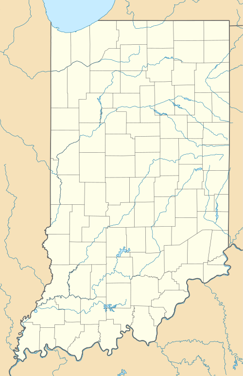
Versailles State Park (pronounced locally as ver-SAYLES) is an Indiana state park, near the town of Versailles, Indiana, USA. The land was given by the National Park Service for use as a state park to Indiana's Department of Conservation in 1943.[1]
In the early 20th century, the area was farmland. In the 1930s, the National Park Service acquired the land and hired the Civilian Conservation Corps (CCC) to improve the land into a Recreational Demonstration Area. The 230-acre (0.93 km2) Versailles Lake was formed in 1954 when a dam was built across Laughery Creek.

It is a recreation area, with fishing and boating on Versailles Lake and Laughery Creek. A covered bridge, the Busching covered bridge, crosses the creek. This Howe truss bridge was constructed in 1885, is 176 feet (54 m) long, and although within the state park, Ripley county owns it. A group camp, originally constructed by the CCC, is available for use as well. Swimming is not allowed in Versailles Lake, but a 25-meter pool is available.
Notes
- ↑ http://www.in.gov/dnr/3245.htm Official (Indiana) DNR Historical Timeline
References
- Conn, Earl L. (2006). My Indiana:101 Places to See. Indianapolis: Indiana Historical Society Press. pp. 168–9.