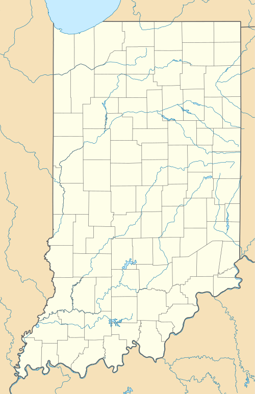
Wyatt, Indiana
| Wyatt | |
|---|---|
| Unincorporated community | |
 Wyatt  Wyatt | |
| Coordinates: 41°31′33″N 86°10′10″W / 41.52583°N 86.16944°W | |
| Country | United States |
| State | Indiana |
| County | St. Joseph |
| Township | Madison |
| Elevation[1] | 830 ft (250 m) |
| Population | |
| • Total | 117 |
| Time zone | EST (UTC-5) |
| • Summer (DST) | EDT (UTC-4) |
| ZIP code | 46595 |
| FIPS code | 18-85724[2] |
| GNIS feature ID | 452842 |
Wyatt is an unincorporated community located in Madison Township, St. Joseph County, in the U.S. state of Indiana.[3]
The community is part of the South Bend–Mishawaka, IN-MI, Metropolitan Statistical Area.
History
Wyatt was platted in 1894 when the railroad was extended to that point.[4] An old variant name of the community was called Littleton.[5]
A post office has been in operation at Wyatt since 1893.[6]
Geography
Wyatt is located at 41°31′33″N 86°10′10″W / 41.52583°N 86.16944°W, situated on State Road 331 about 10 miles (16 km) south of Mishawaka and 7 miles (11 km) north of Bremen.
Education
Wyatt is located in the Penn-Harris-Madison School District.
References
- ↑ "US Board on Geographic Names". United States Geological Survey. 2007-10-25. Retrieved 2008-01-31.
- ↑ "American FactFinder". United States Census Bureau. Retrieved 2008-01-31.
- ↑ "Wyatt, Indiana". Geographic Names Information System. United States Geological Survey. Retrieved 2016-11-06.
- ↑ Howard, Timothy Edward (1907). A History of St. Joseph County, Indiana. Lewis publishing Company. p. 311.
- ↑ "USGS detail on Wyatt - Variant Citation". Retrieved 2016-11-06.
- ↑ "Saint Joseph County". Jim Forte Postal History. Retrieved 1 December 2015.
External links
- Dept. of Agriculture licensed grain warehouses in Indiana
- Google Maps: Wyatt, Indiana
- MapQuest: Wyatt, Indiana
Coordinates: 41°31′33″N 86°10′10″W / 41.52583°N 86.16944°W

Wyatt from the air.
This article is issued from Wikipedia - version of the 11/10/2016. The text is available under the Creative Commons Attribution/Share Alike but additional terms may apply for the media files.