Villanueva de la Concepción
| Villanueva de la Concepción | |
|---|---|
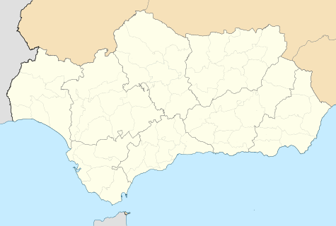
 Villanueva de la Concepción Location in Andalusia | |
| Coordinates: 36°55′52″N 4°31′54″W / 36.93111°N 4.53167°W | |
| Country |
|
| Autonomous community |
|
| Province | Málaga |
| Comarca | Comarca de Antequera |
| Government | |
| • Mayor | Gonzalo Sánchez Hoyos |
| Area | |
| • Total | 67.37 km2 (26.01 sq mi) |
| Elevation | 534 m (1,752 ft) |
| Population (2010) | |
| • Total | 3,386 |
| • Density | 50/km2 (130/sq mi) |
| Demonym(s) | Villanovenses |
| Time zone | CET (UTC+1) |
| • Summer (DST) | CEST (UTC+2) |
| Postcode | 29230 |
| Website | Official website |
Villanueva de la Concepción is a town and municipality in the province of Málaga, part of the autonomous community of Andalucía in southern Spain. The municipality is situated approximately 35 kilometres from the provincial capital of Málaga. It is located at the foot of El Torcal. It has an altitude between 400 and 500 metres.

View on Villanueva de la Concepción with El Torcal Massif in the background
This article is issued from Wikipedia - version of the 12/29/2014. The text is available under the Creative Commons Attribution/Share Alike but additional terms may apply for the media files.