South Woodstock, Vermont
| South Woodstock, Vermont | |
|---|---|
| Unincorporated community | |
 | |
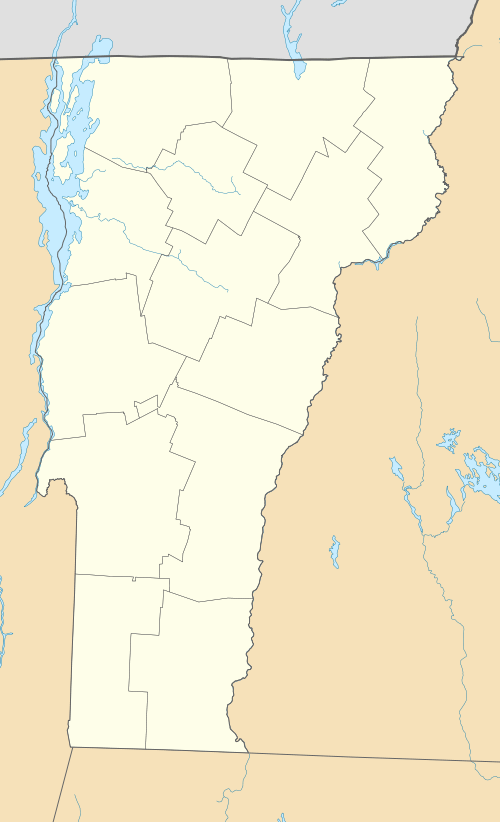
 South Woodstock, Vermont Location in Vermont | |
| Coordinates: 43°33′56″N 72°31′56″W / 43.56556°N 72.53222°WCoordinates: 43°33′56″N 72°31′56″W / 43.56556°N 72.53222°W | |
| Country | United States |
| State | Vermont |
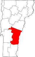
| County | Windsor |
| Elevation | 1,040 ft (320 m) |
| Time zone | Eastern (EST) (UTC-5) |
| • Summer (DST) | EDT (UTC-4) |
| Area code(s) | 802 |
| GNIS feature ID | 1459626[1] |
South Woodstock is an unincorporated village in the town of Woodstock in Windsor County, Vermont, United States. Its elevation is 1,040 feet (317 m), and it is located at 43°33′56″N 72°31′56″W / 43.56556°N 72.53222°W (43.5656256, -72.5323158),[1] in the Kedron Valley.[2]
A post office was established in South Woodstock in 1828;[3] today, its ZIP code is 05071.[4] The ZCTA for ZIP Code 05071 had a population of 456 at the 2000 census.[5] The ZCTA includes large areas outside the village district and includes the entire southern portion of the town of Woodstock.
Once a center of sheep husbandry, South Woodstock is split between commercial and residential areas. Beside the post office, public services in the community include a volunteer fire department;[2] moreover, Woodstock maintains a local police department.[6]
The South Woodstock Village Historic District was listed on the National Register of Historic Places in 1983.[7] The historic district consists of 44 contributing and 11 non-contributing properties over an area of 360 acres (150 ha), including a significant concentration of brick buildings. The district includes examples of Greek Revival and Federal architecture from before the American Civil War. Notable buildings include an 1825 school that became a Grange Hall, the South Chapel (1839), and the Perkins Academy (1848).[8]
History
The South Woodstock area was originally settled in the 1770s, with rural agricultural homesteads on local hilltops. The village, located in a valley, grew around the gristmills of the Cottle brothers, eventually providing a broader array of services to the outlying farmers. The Cottles built several fine Federal period brick houses in the village, while the Ransom family built and operated shops in the village. The village's early 19th century character has been maintained in part because it remained away from economically important railroad transport, which affected the local economy until road transport became more common in the 20th century.[8]
See also
References
- 1 2 U.S. Geological Survey Geographic Names Information System: South Woodstock, Vermont
- 1 2 South Woodstock, Town of Woodstock 2009. Accessed 2009-07-04.
- ↑ U.S. Geological Survey Geographic Names Information System: South Woodstock Post Office
- ↑ Zip Code Lookup
- ↑ "American FactFinder". United States Census Bureau. Retrieved 2008-01-31.
- ↑ Woodstock Police Department, Town of Woodstock, 2009. Accessed 2009-07-04.
- ↑ National Park Service (2009-03-13). "National Register Information System". National Register of Historic Places. National Park Service.
- 1 2 Margaret N. Delaittre (1981). "NRHP nomination for South Woodstock Historic District" (PDF). National Park Service. Retrieved 2016-08-23. with photos from 1981
