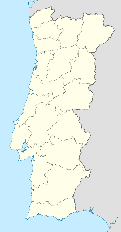
Salir (Loulé)
| Salir | |
|---|---|
| Parish | |
 Salir | |
| Coordinates: 37°14′28″N 8°02′42″W / 37.241°N 8.045°WCoordinates: 37°14′28″N 8°02′42″W / 37.241°N 8.045°W | |
| Country | Portugal |
| Region | Algarve |
| Subregion | Algarve |
| Intermunic. comm. | Algarve |
| District | Faro |
| Municipality | Loulé |
| Area | |
| • Total | 187.75 km2 (72.49 sq mi) |
| Population (2011) | |
| • Total | 2,775 |
| • Density | 15/km2 (38/sq mi) |
| Website | http://www.salir.pt/ |
Salir is a village and civil parish located in the municipality of Loulé, Portugal. The population in 2011 was 2,775,[1] in an area of 187.75 km².[2] Situated away from the coast, Salir is known by its castle. There are two churches in Salir. Salir is close to the village of Alte.
References
This article is issued from Wikipedia - version of the 1/25/2016. The text is available under the Creative Commons Attribution/Share Alike but additional terms may apply for the media files.