Rapperswill, Edmonton
| Rapperswill | |
|---|---|
| Neighbourhood | |
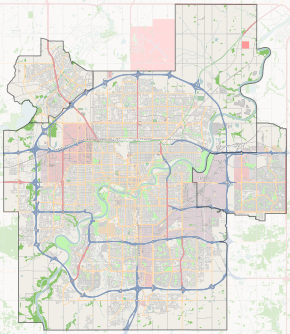
 Rapperswill Location of Rapperswill in Edmonton | |
| Coordinates: 53°38′02″N 113°31′55″W / 53.634°N 113.532°W | |
| Country |
|
| Province |
|
| City | Edmonton |
| Quadrant[1] | NW |
| Ward[1] | 3 |
| Sector[2] | North |
| Area[3] | Castle Downs |
| Government[4] | |
| • Administrative body | Edmonton City Council |
| • Councillor | Dave Loken |
| Area | |
| • Total | 1.03 km2 (0.40 sq mi) |
| Elevation | 685 m (2,247 ft) |
Rapperswill is a new neighbourhood in the Castledowns area of north west Edmonton, Alberta, Canada. It is bounded on the west by 127 Street and on the south by 167 Avenue. The eastern boundary is one half block west of 119 Street. To the north is Edmonton's Rural North West.
As of September 23, 2007, the city of Edmonton map utility contained virtually no data on this area. As this area develops, more data should become available.
Future developments
On February 27, 2007, the Alberta Government announced plans to construct a new remand centre at 127 Street and 186 Avenue. This site is located to the north of Rapperswill, and adjacent to the Edmonton Young Offenders Centre, an existing jail for youth. The proposed north extension of the Anthony Henday Drive will separate both facilities from the neighbourhood.[5]
Surrounding neighbourhoods
 |
Rural North West | Rural North West | Rural North West |  |
| The Palisades | |
Canossa | ||
| ||||
| | ||||
| Oxford | Dunluce | Dunluce |
References
- 1 2 "City of Edmonton Wards & Standard Neighbourhoods" (PDF). City of Edmonton. Retrieved February 13, 2013.
- ↑ "Edmonton Developing and Planned Neighbourhoods, 2011" (PDF). City of Edmonton. Retrieved February 13, 2013.
- ↑ "City of Edmonton Plans in Effect" (PDF). City of Edmonton. November 2011. Retrieved February 13, 2013.
- ↑ "City Councillors". City of Edmonton. Retrieved February 13, 2013.
- ↑ Site selected for new Edmonton Remand Centre