Lee Bottom Airport
| Lee Bottom Airport (Lee Bottom Flying Field) | |||||||||||
|---|---|---|---|---|---|---|---|---|---|---|---|
| IATA: none – ICAO: none – FAA LID: 64I | |||||||||||
| Summary | |||||||||||
| Airport type | Privately Owned, Public Use | ||||||||||
| Owner | Rich and Ginger Davidson | ||||||||||
| Location | Hanover, Indiana | ||||||||||
| Elevation AMSL | 470 ft / 143 m | ||||||||||
| Coordinates | 38°37′53″N 085°26′36″W / 38.63139°N 85.44333°WCoordinates: 38°37′53″N 085°26′36″W / 38.63139°N 85.44333°W | ||||||||||
| Website | http://www.leebottom.com/index.html | ||||||||||
| Map | |||||||||||
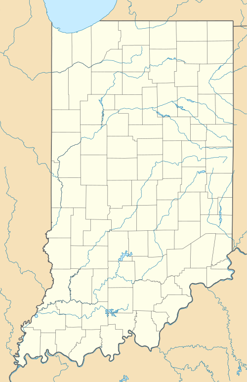 64I Location of airport in Indiana | |||||||||||
| Runways | |||||||||||
| |||||||||||
Lee Bottom Airport (FAA LID: 64I) is a public airport 6 miles (9.7 km) south of Hanover, in Jefferson County, Indiana. The airport was re-opened in April 1991.
References
External links
- http://www.leebottom.com/index.html
- http://www.airnav.com/airport/64I
- http://nordonews.leebottom.com/
This article is issued from Wikipedia - version of the 12/5/2016. The text is available under the Creative Commons Attribution/Share Alike but additional terms may apply for the media files.