Monroe County Airport (Indiana)
| Monroe County Airport | |||||||||||||||
|---|---|---|---|---|---|---|---|---|---|---|---|---|---|---|---|
 | |||||||||||||||
| IATA: BMG – ICAO: KBMG – FAA LID: BMG | |||||||||||||||
| Summary | |||||||||||||||
| Airport type | Public | ||||||||||||||
| Owner | Monroe County | ||||||||||||||
| Location | Bloomington, Indiana | ||||||||||||||
| Elevation AMSL | 846 ft / 258 m | ||||||||||||||
| Coordinates | 39°08′46″N 086°37′00″W / 39.14611°N 86.61667°W | ||||||||||||||
| Map | |||||||||||||||
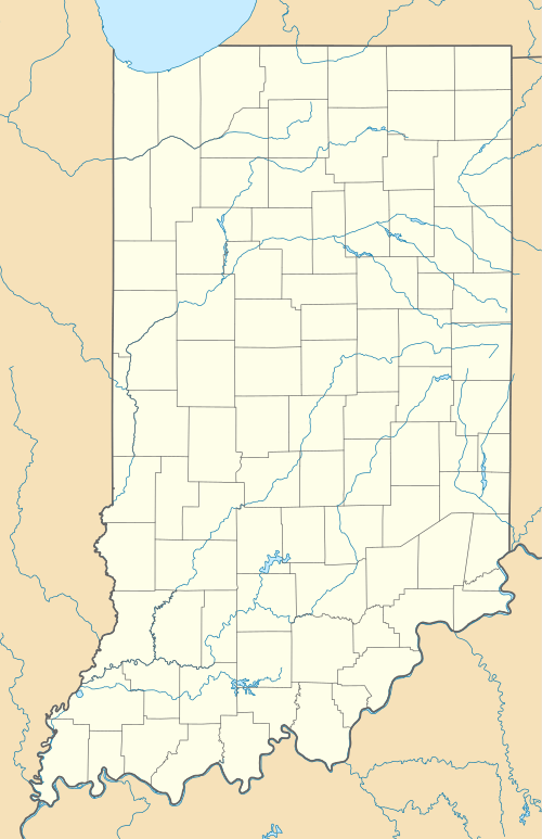
 BMG  BMG Location of airport in Indiana/United States | |||||||||||||||
| Runways | |||||||||||||||
| |||||||||||||||
| Statistics (2006) | |||||||||||||||
| |||||||||||||||
Monroe County Airport (IATA: BMG, ICAO: KBMG, FAA LID: BMG) is five miles southwest of Bloomington, Indiana.[1] Airline flights have stopped in the past, but not since 1997 and not in the foreseeable future.
Facilities
Monroe County Airport covers 1,035 acres (419 ha) at an elevation of 845 feet (258 m). It has two asphalt runways: 17/35 is 6,500 by 150 feet (1,981 x 46 m) and 6/24 is 3,798 by 100 feet (1,158 x 30 m).[1]
The runway was 5200 feet but was lengthened to 6500 feet, enough for Boeing 727s. In 1995 the aircraft parking ramp was completely replaced, allowing larger planes, and 13 hangars were added. Fixed-Base Operator (FBO) services and car rentals are available. There are two FBOs at the airport: Cook Aviation (owned by Cook Group) and BMG Aviation.
Airlines stopped at Monroe County Airport until the late 1990s. Operations received federal funding under the Essential Air Service program until 1997, when these subsidies were cut due to the airport's proximity to Indianapolis International Airport, 50 miles north.
In 2012 the airport averaged 61 aircraft operations per day: 94% general aviation, 4% air taxi, 3% military and <1% airline. 104 aircraft were then based at this airport: 80 single-engine, 17 multi-engine, 4 jet, 2 helicopter, and 1 ultralight.[1]
Geological hazards
The Monroe County Airport, along with most of the western half of Monroe County, is located on top of Indiana Limestone. This results in a variety of karst phenomena, including the development of sinkholes in the area. To ensure smoother takeoffs and landings, in the fall of 2013 a major project was undertaken to plug sinkholes using geogrid material.[2]
Accidents and incidents
- On 19 October 1985, Vickers Viscount N923RC of Ray Charles Enterprises was damaged beyond economic repair when it departed the runway on landing.[3]
- On 21 April 2006, at about 23:45 a Cessna 206 N120HS was destroyed on impact while on an instrument approach to runway 35. The flight originated from the Purdue University Airport(LAF), near Lafayette, Indiana, about 22:45. The pilot and four passengers all sustained fatal injures in the accident. All five people killed in the accident were Indiana University music students.
References
- 1 2 3 4 FAA Airport Master Record for BMG (Form 5010 PDF), effective 2009-05-07.
- ↑ Scott, Kathy (2014-10-01). "Monroe County Airport repairs airfield sinkholes".
- ↑ "Accident description". Aviation Safety Network. Retrieved 8 October 2009.
External links
- Aerial photo from Indiana Department of Transportation
- FAA Airport Diagram (PDF), effective December 8, 2016
- FAA Terminal Procedures for BMG, effective December 8, 2016
- Resources for this airport:
- FAA airport information for BMG
- AirNav airport information for KBMG
- ASN accident history for BMG
- FlightAware airport information and live flight tracker
- NOAA/NWS latest weather observations
- SkyVector aeronautical chart, Terminal Procedures