Jacinto, California
Coordinates: 39°34′52″N 122°00′24″W / 39.58111°N 122.00667°W
| Jacinto | |
|---|---|
| Unincorporated community | |
 Jacinto  Jacinto Location in California | |
| Coordinates: 39°34′52″N 122°00′24″W / 39.58111°N 122.00667°W | |
| Country | United States |
| State | California |
| County | Glenn County |
| Elevation[1] | 112 ft (34 m) |
Jacinto is a small unincorporated community in Glenn County, California.[1] Named for Jacinto Rodriques, who received a Mexican land grant in the area in 1844, it is located on the Sacramento River 11 miles (18 km) east-northeast of Willows,[2] at an elevation of 112 feet (34 m).[1]
A post office was established at Jacinto March 19, 1858 and operated until November 15, 1910.[2] Jacinto was the home of Dr. Hugh J. Glenn, a prominent figure in California politics.
References
Municipalities and communities of Glenn County, California, United States | ||
|---|---|---|
| Cities | 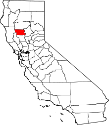 | |
| CDPs | ||
| Unincorporated communities | ||
| Indian reservations | ||
| Ghost towns | ||
This article is issued from Wikipedia - version of the 7/5/2016. The text is available under the Creative Commons Attribution/Share Alike but additional terms may apply for the media files.