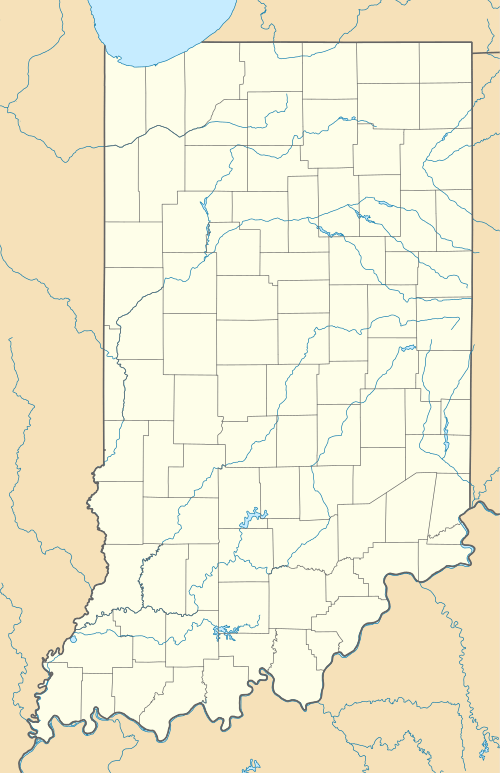
East Oolitic, Indiana
| East Oolitic | |
|---|---|
| Unincorporated community | |
 East Oolitic  East Oolitic | |
| Coordinates: 38°53′56″N 86°30′43″W / 38.89889°N 86.51194°WCoordinates: 38°53′56″N 86°30′43″W / 38.89889°N 86.51194°W | |
| Country | United States |
| State | Indiana |
| County | Lawrence |
| Township | Shawswick |
| Elevation | 528 ft (161 m) |
| ZIP code | 47421 |
| FIPS code | 18-19936[1] |
| GNIS feature ID | 450880[2] |
East Oolitic is an unincorporated community in Shawswick Township, Lawrence County, Indiana.
History
East Oolitic was originally called Spien Kopj, in commemoration of the Battle of Spion Kop in the Second Boer War.[3] East Oooltic was platted in 1900.[4] Oolite is a type of limestone found in the area.[5]
Geography
East Oolitic, Indiana is located at 38°53′56″N 86°30′43″W / 38.89889°N 86.51194°W / 38.89889°N 86.51194°W / 38.89889; -86.51194, in Lawrence County approximately two miles north of Bedford, and one half mile east of Oolitic.
References
- ↑ "American FactFinder". United States Census Bureau. Retrieved 2008-01-31.
- ↑ "East Oolitic, Indiana". Geographic Names Information System. United States Geological Survey. Retrieved 2009-10-17.
- ↑ Baker, Ronald L. (October 1995). From Needmore to Prosperity: Hoosier Place Names in Folklore and History. Indiana University Press. p. 120. ISBN 978-0-253-32866-3.
Formerly the village was called Spien Kopj for the South African battle in the Boer War in 1900.
- ↑ History of Lawrence and Monroe Counties, Indiana: Their People, Industries, and Institutions. B.F. Bowen. 1914. p. 205.
- ↑ History of Lawrence, Orange, and Washington Counties, Indiana: From the Earliest Time to the Present, Together with Interesting Biographical Sketches, Reminiscences, Notes, Etc. Higginson Book Company. 1884. p. 12.
This article is issued from Wikipedia - version of the 10/17/2016. The text is available under the Creative Commons Attribution/Share Alike but additional terms may apply for the media files.