Duncansby, Mississippi
| Duncansby, Mississippi | |
|---|---|
| Ghost town | |
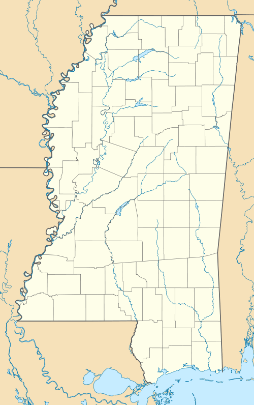
 Duncansby, Mississippi Location within the state of Mississippi | |
| Coordinates: 32°57′51″N 91°04′47″W / 32.96417°N 91.07972°WCoordinates: 32°57′51″N 91°04′47″W / 32.96417°N 91.07972°W | |
| Country | United States |
| State | Mississippi |
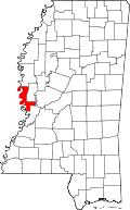
| County | Issaquena |
| Elevation | 102 ft (31 m) |
| Time zone | Central (CST) (UTC-6) |
| • Summer (DST) | CDT (UTC-5) |
| GNIS feature ID | 687591[1] |
Duncansby is a ghost town in Issaquena County, Mississippi.[1]
Duncansby was located on a stretch of the Mississippi River known as Duncansby Chute.[2]
In 1844, nearby Skipwith became the first county seat. Shortly after, the county seat was moved to Duncansby. In 1848, the county seat was moved to Tallula.[3]
During the 19th century, the town erected dikes in an effort to reduce river flooding.[2]
In 1900, Duncansby had two churches, a post office, and a population of 157.[4]
The U.S. Army Corps of Engineers began construction of the Sarah Cutoff in 1935, which created Old River Chute, an oxbow lake, and removed Duncansby from the contiguous Mississippi River.[5]
Nothing remains of the former community.
References
- 1 2 "Duncansby Landing, Mississippi". Geographic Names Information System. United States Geological Survey.
- 1 2 Annual Report of the Mississippi River Commission. Mississippi River Commission. 1884. p. 423.
- ↑ Hellmann, Paul T. (2006). Historical Gazetteer of the United States. Routledge. p. 599.
- ↑ Rowland, Dunbar (1907). Mississippi: Comprising Sketches of Counties, Towns, Events, Institutions, and Persons, Arranged in Cyclopedic Form. 1. Southern Historical Publishing Association. p. 666.
- ↑ Bragg, Marion (1977). "Historic Names and Places on the Lower Mississippi River" (PDF). Mississippi River Commission.
This article is issued from Wikipedia - version of the 1/31/2016. The text is available under the Creative Commons Attribution/Share Alike but additional terms may apply for the media files.
