Dalton, Wisconsin
| Green Lake, Wisconsin | |
|---|---|
| Census-designated place | |
 Green Lake, Wisconsin | |
| Coordinates: 43°39′25″N 89°12′23″W / 43.65694°N 89.20639°W | |
| Country | United States |
| State | Wisconsin |
| County | Green Lake |
| Area | |
| • Total | 0.456 sq mi (1.18 km2) |
| • Land | 0.449 sq mi (1.16 km2) |
| • Water | 0.007 sq mi (0.02 km2) |
| Elevation | 869 ft (265 m) |
| Population (2010)[1] | |
| • Total | 206 |
| • Density | 450/sq mi (170/km2) |
| Time zone | Central (CST) (UTC-6) |
| • Summer (DST) | CDT (UTC-5) |
| Area code(s) | 920 |
| GNIS feature ID | 1563680[2] |
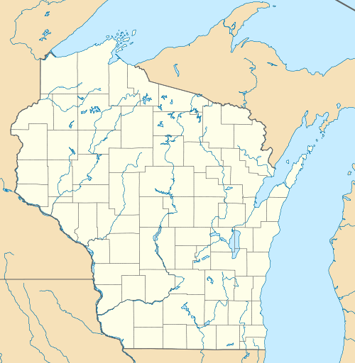
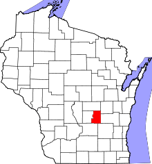
Dalton is an unincorporated census-designated place in the town of Kingston located in the southwestern corner of Green Lake County, Wisconsin, United States.[3] It is located on Wisconsin Highway 44. It uses ZIP code 53926. As of the 2010 census, its population was 206.[1] The surrounding countryside is mainly occupied by dairy farmers and an Amish community.[4] Dalton has an area of 0.456 square miles (1.18 km2); 0.449 square miles (1.16 km2) of this is land, and 0.007 square miles (0.018 km2) is water.
References
- 1 2 "American FactFinder". U.S. Census Bureau. Retrieved 30 March 2011.
- ↑ U.S. Geological Survey Geographic Names Information System: Dalton, Wisconsin
- ↑ http://wisconsin.hometownlocator.com/wi/green-lake/dalton.cfm
- ↑ About us from Dalton Fire Department; Retrieved February 7, 2007
External links
- Dalton Fire Department, Dalton, Wisconsin; Retrieved February 7, 2007
Coordinates: 43°39′25″N 89°12′23″W / 43.65694°N 89.20639°W
This article is issued from Wikipedia - version of the 9/4/2016. The text is available under the Creative Commons Attribution/Share Alike but additional terms may apply for the media files.
