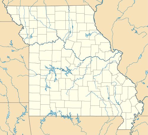
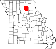
Bloomington, Missouri
| Bloomington, Missouri | |
|---|---|
| Unincorporated community | |
 Bloomington, Missouri | |
| Coordinates: 39°47′49″N 92°33′37″W / 39.79694°N 92.56028°WCoordinates: 39°47′49″N 92°33′37″W / 39.79694°N 92.56028°W | |
| Country | United States |
| State | Missouri |
| County | Macon |
| Elevation | 823 ft (251 m) |
| Time zone | Central (CST) (UTC-6) |
| • Summer (DST) | CDT (UTC-5) |
| Area code(s) | 660 |
| GNIS feature ID | 740681[1] |
Bloomington is an unincorporated community in Macon County, Missouri, United States. Bloomington is 3.5 miles (5.6 km) north of Bevier. Bloomington was built in 1837, and is the oldest community in Macon County. It was originally called Box Ankle[2][3] and served as Macon County's seat until 1863.[1]
References
- 1 2 U.S. Geological Survey Geographic Names Information System: Bloomington, Missouri
- ↑ "Disappearing Missouri Names". The Kansas City Star. March 19, 1911. p. 15. Retrieved August 15, 2014 – via Newspapers.com.

- ↑ "Macon County Place Names, 1928–1945". The State Historical Society of Missouri. Archived from the original on June 24, 2016. Retrieved October 30, 2016.
This article is issued from Wikipedia - version of the 10/30/2016. The text is available under the Creative Commons Attribution/Share Alike but additional terms may apply for the media files.
