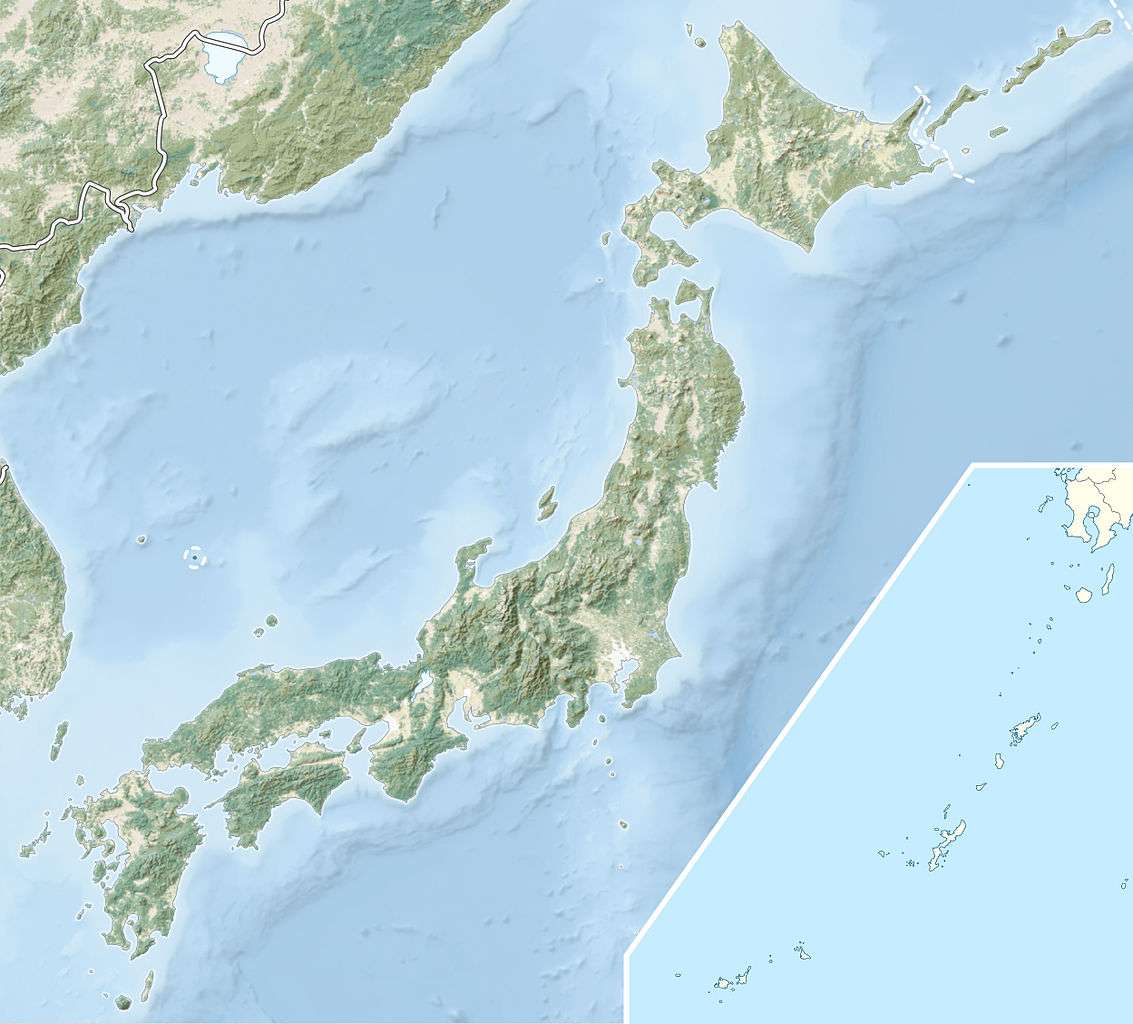
2000 Tottori earthquake
 | |
| Date | October 6, 2000 |
|---|---|
| Origin time | 04:30:20 UTC [1] |
| Magnitude | 6.7 Mw [1] |
| Depth | 10 km (6.2 mi) [1] |
| Epicenter | 35°16′N 133°19′E / 35.27°N 133.31°ECoordinates: 35°16′N 133°19′E / 35.27°N 133.31°E [1] |
| Type | Strike-slip [2] |
| Areas affected | Japan |
| Total damage | $150 million (US) [2] |
| Max. intensity | VIII (Severe) [3] |
| Landslides | Yes [2] |
| Casualties | 130 injuries [2] |

USGS Shakemap for the event
The 2000 Tottori earthquake (鳥取地震 Tottorijishin) occurred at 13:30:20 local time with a moment magnitude of 6.7 and a maximum Mercalli intensity of VIII (Severe). The epicenter was near Yonago and Matsue. About $150 million in damage was caused (with 104 buildings destroyed) and 130 people were injured.
See also
References
- 1 2 3 4 ISC (2015), ISC-GEM Global Instrumental Earthquake Catalogue (1900–2009), Version 2.0, International Seismological Centre
- 1 2 3 4 USGS (September 4, 2009), PAGER-CAT Earthquake Catalog, Version 2008_06.1, United States Geological Survey
- ↑ USGS. "M6.7 - western Honshu, Japan". United States Geological Survey.
Sources
- Ohmi, S.; Watanabe, K.; Shibutani, T.; Hirano, N.; Nakao, S. (2002), "The 2000 Western Tottori Earthquake—Seismic activity revealed by the regional seismic networks—" (PDF), Earth, Planets and Space, Springer, 54 (8): 819–830
This article is issued from Wikipedia - version of the 11/21/2016. The text is available under the Creative Commons Attribution/Share Alike but additional terms may apply for the media files.