1927 Kita Tango earthquake
 | |
 | |
| Date | March 7, 1927 |
|---|---|
| Origin time | 09:27:27 UTC [1] |
| Magnitude | 7.0 Mw [1] |
| Depth | 10 km (6 mi) [1] |
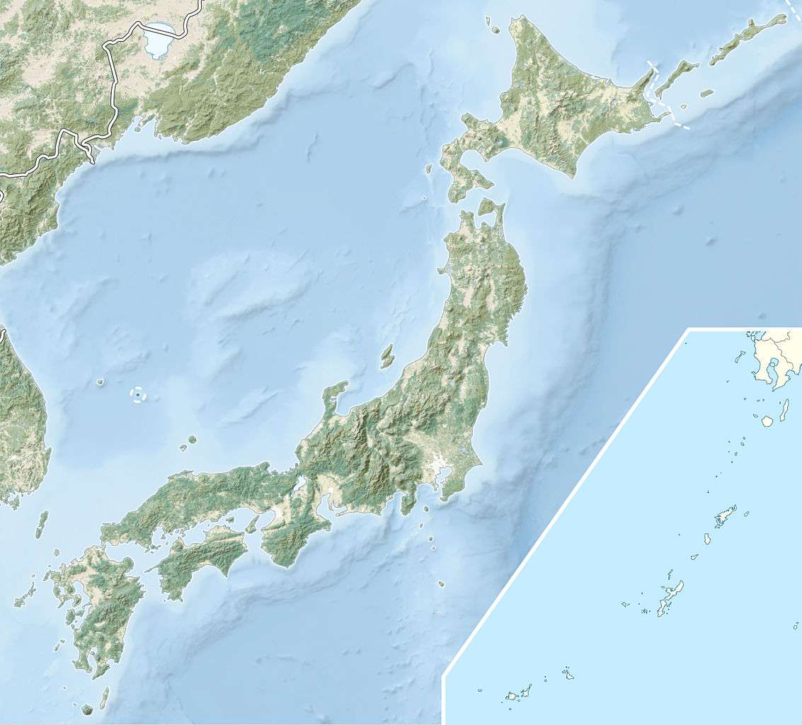
| Epicenter | 35°38′N 135°01′W / 35.63°N 135.01°WCoordinates: 35°38′N 135°01′W / 35.63°N 135.01°W [1] |
| Areas affected | Japan |
| Tsunami | 11.3 m (37 ft) [2] |
| Casualties |
2,925–2,956 (killed) [2] 7,806 (injured) [2] |
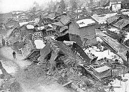
The 1927 Kita Tango earthquake occurred in Kyoto Prefecture on 7 March with a moment magnitude of 7.0. Up to 2,956 people were killed 7,806 were injured. Almost all the houses in Mineyama (now part of Kyōtango) were destroyed as a result. The earthquake was felt as far away as Tokyo and Kagoshima.[3]
Gallery
-

1927 Kita-Tango earthquake damage at Yotsutsuji
-

1927 Kita-Tango earthquake damage
-

1927 Kita-Tango earthquake damage
-

1927 Kita-Tango earthquake damage
-

1927 Kita-Tango earthquake damage
See also
References
- 1 2 3 4 ISC (2015), ISC-GEM Global Instrumental Earthquake Catalogue (1900–2009), Version 2.0, International Seismological Centre
- 1 2 3 USGS (September 4, 2009), PAGER-CAT Earthquake Catalog, Version 2008_06.1, United States Geological Survey
- ↑ "Historic Earthquakes: Tango, Japan, 1927 March 07 09:27 UTC, Magnitude 7.6". USGS. Retrieved 2009-05-19.
External links
This article is issued from Wikipedia - version of the 9/17/2016. The text is available under the Creative Commons Attribution/Share Alike but additional terms may apply for the media files.