Židlochovice
| Židlochovice | |||
|---|---|---|---|
| Town | |||
 | |||
| |||
 Židlochovice | |||
| Coordinates: 49°2′22″N 16°37′8″E / 49.03944°N 16.61889°ECoordinates: 49°2′22″N 16°37′8″E / 49.03944°N 16.61889°E | |||
| Country |
| ||
| Region | South Moravian | ||
| District | Brno-Country | ||
| Area | |||
| • Total | 5.93 km2 (2.29 sq mi) | ||
| Elevation | 190 m (620 ft) | ||
| Population (1.1.2012) | |||
| • Total | 3,605 | ||
| • Density | 610/km2 (1,600/sq mi) | ||
| Postal code | 667 01 | ||
| Website | http://www.zidlochovice.cz/ | ||
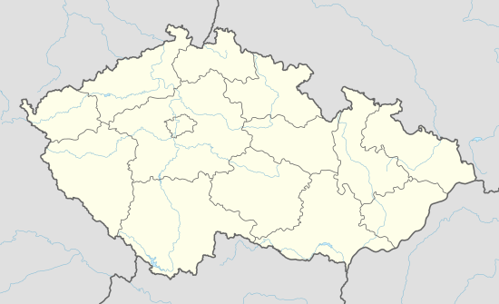
Židlochovice (Czech pronunciation: [ˈʒɪdloxovɪtsɛ]; German: Groß Seelowitz) is a town in Brno-Country District in the South Moravian Region of the Czech Republic.
The town covers an area of 5.93 square kilometres (2.29 sq mi), and has a population of 3,075.
Židlochovice lies approximately 18 kilometres (11 mi) south of Brno.
History
Until 1918, GROSS-SEELOWITZ - ŽIDLOCHOVICE (named SEELOWITZ before 1867) was part of the Austrian monarchy (Austria side after the compromise of 1867), in the AUSPITZ - HUSTOPEČE district, one of the 34 Bezirkshauptmannschaften in Moravia.[1]

Austrian KK 2 kr stamp, bilingual cancelled in 1881
A post-office was opened in 1850.
References
- ↑ Die postalischen Abstempelungen auf den österreichischen Postwertzeichen-Ausgaben 1867, 1883 und 1890, Wilhelm KLEIN, 1967
| Wikimedia Commons has media related to Židlochovice. |
This article is issued from Wikipedia - version of the 4/4/2016. The text is available under the Creative Commons Attribution/Share Alike but additional terms may apply for the media files.

