Zacapa Airport
| Zacapa Airport | |||||||||||
|---|---|---|---|---|---|---|---|---|---|---|---|
| IATA: none – ICAO: MGZA | |||||||||||
| Summary | |||||||||||
| Airport type | Public | ||||||||||
| Serves | Zacapa | ||||||||||
| Elevation AMSL | 633 ft / 193 m | ||||||||||
| Coordinates | 14°57′35″N 89°32′20″W / 14.95972°N 89.53889°WCoordinates: 14°57′35″N 89°32′20″W / 14.95972°N 89.53889°W | ||||||||||
| Map | |||||||||||
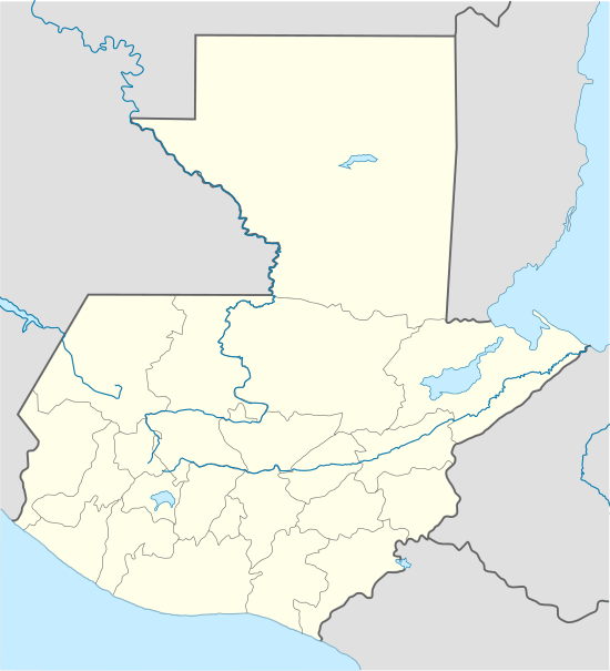 Zacapa Location of the airport in Guatemala | |||||||||||
| Runways | |||||||||||
| |||||||||||
Zacapa Airport (ICAO: MGZA) is an airport serving the city of Zacapa, the capital municipality of Zacapa Department in Guatemala.
See also
References
- ↑ Airport information for MGZA at Great Circle Mapper.
- ↑ Google Maps - Zacapa
- Google Earth
External links
This article is issued from Wikipedia - version of the 12/5/2016. The text is available under the Creative Commons Attribution/Share Alike but additional terms may apply for the media files.