Wrong Lake Airport
| Wrong Lake Airport | |||||||||||
|---|---|---|---|---|---|---|---|---|---|---|---|
| IATA: none – ICAO: none – TC LID: CJG4 | |||||||||||
| Summary | |||||||||||
| Airport type | Private | ||||||||||
| Operator | Big Eddies North Country Lodge | ||||||||||
| Location | Wrong Lake, Manitoba | ||||||||||
| Time zone | CST (UTC−06:00) | ||||||||||
| • Summer (DST) | CDT (UTC−05:00) | ||||||||||
| Elevation AMSL | 840 ft / 256 m | ||||||||||
| Coordinates | 52°36′56″N 096°11′06″W / 52.61556°N 96.18500°WCoordinates: 52°36′56″N 096°11′06″W / 52.61556°N 96.18500°W | ||||||||||
| Map | |||||||||||
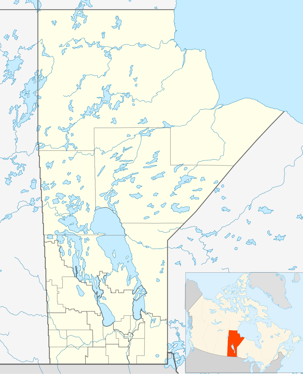 CJU6 Location in Manitoba | |||||||||||
| Runways | |||||||||||
| |||||||||||
|
Source: Canada Flight Supplement[1] | |||||||||||
Wrong Lake Airport, (TC LID: CJG4), is located next to Wrong Lake, Manitoba, Canada.
References
- ↑ Canada Flight Supplement. Effective 0901Z 15 September 2016 to 0901Z 10 November 2016
| By name | |
|---|---|
| By location indicator | |
| By province/territory | |
| By region | |
| National Airports System | |
| Related | |
| |
This article is issued from Wikipedia - version of the 12/4/2016. The text is available under the Creative Commons Attribution/Share Alike but additional terms may apply for the media files.