Urddalsknuten
| Urddalsknuten | |
|---|---|
| Urdalsknuten | |
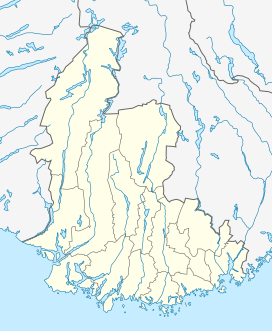 Urddalsknuten 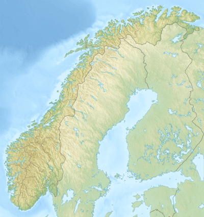 Urddalsknuten Location of the mountain | |
| Highest point | |
| Elevation | 1,434 m (4,705 ft) |
| Prominence | 510 m (1,670 ft) |
| Isolation | 29.6 kilometres (18.4 mi) |
| Listing | 14 at List of highest points of Norwegian counties |
| Coordinates | 59°09′52″N 07°09′27″E / 59.16444°N 7.15750°ECoordinates: 59°09′52″N 07°09′27″E / 59.16444°N 7.15750°E |
| Geography | |
| Location | Sørlandet, Norway |
| State/Province | NO |
| Parent range | Setesdalsheiene |
| Topo map | 1413 III Rosskreppfjorden |
Urddalsknuten or Urdalsknuten is a mountain that lies on the border of the municipalities of Sirdal in Vest-Agder county and Valle in Aust-Agder county, Norway. The mountain is located in the Setesdalsheiene mountain range, and at 1,434 metres (4,705 ft), it is the highest mountain in Vest-Agder county. The mountain lies about 22 kilometres (14 mi) west of the village of Valle. The lakes Botnsvatnet, Kolsvatnet, and Rosskreppfjorden surround the mountain to the northeast and south.[1]
See also
References
- ↑ "Urdalsknuten" (in Norwegian). yr.no. Retrieved 2010-05-19.
This article is issued from Wikipedia - version of the 8/17/2016. The text is available under the Creative Commons Attribution/Share Alike but additional terms may apply for the media files.