Tymbark
| Tymbark | ||
|---|---|---|
|
Tymbark | ||
| ||
 Tymbark | ||
| Coordinates: 49°43′38″N 20°19′32″E / 49.72722°N 20.32556°ECoordinates: 49°43′38″N 20°19′32″E / 49.72722°N 20.32556°E | ||
| Country |
| |
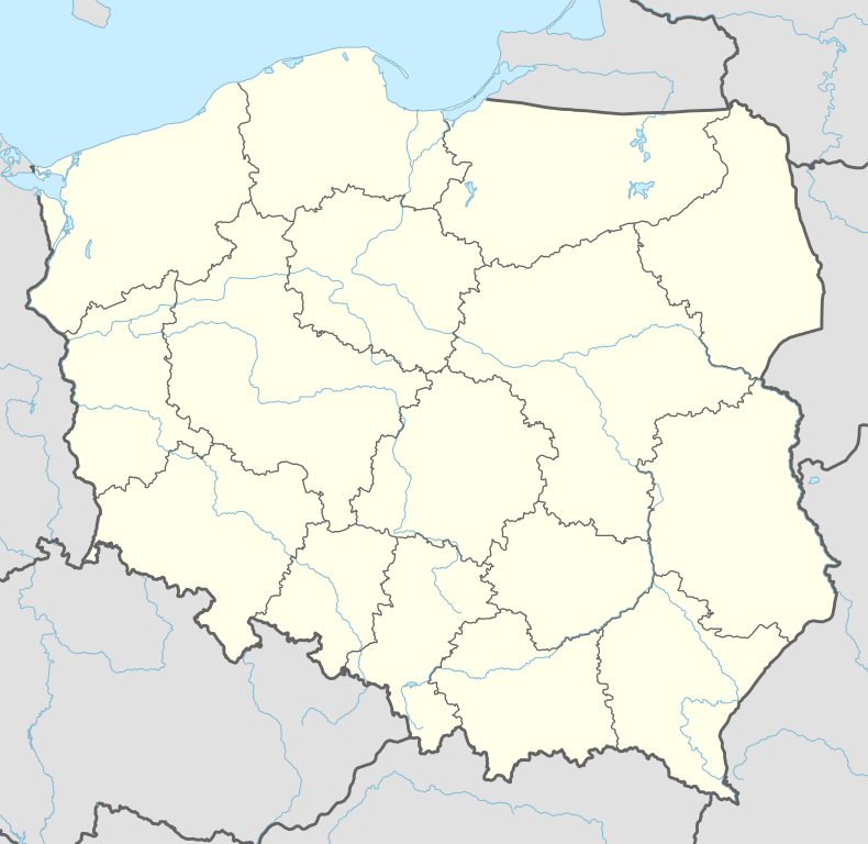
| Voivodeship | Lesser Poland | |
| County | Limanowa County | |
| Gmina | Gmina Tymbark | |
| Elevation | 427 m (1,401 ft) | |
| Population (2004) | ||
| • Total | 2,700 | |
| Time zone | CET (UTC+1) | |
| • Summer (DST) | CEST (UTC+2) | |
| Postal code | 34-650 | |
| Area code(s) | +48 18 | |
| Car plates | KLI | |


Tymbark [ˈtɨmbark] is a village in southern Poland, some 80 km south-east of Kraków, population 2,400 (2004 data). It lies approximately 8 kilometres (5 mi) west of Limanowa and 47 km (29 mi) south-east of the regional capital Kraków.
Tymbark was granted city rights in 1357 by King Casimir III of Poland. The town's original name was Jodłowa Góra, but as the majority of first burghers came from German lands, the name was soon Germanised as Tannenberg, which gave origin to the current one, used from about the 16th century. Tymbark lost the city status in 1934; now it is the administrative centre of Gmina Tymbark.
In 1936 the Podhalańska Fruit and Vegetable Cooperative was established in Tymbark, which developed into a successful business. The cooperative was nationalised in 1950, reprivatised in 1995 and now operates as Tymbark S.A., producing fruit preserves, drinks and juices.
Tymbark is twinned with Whaley Bridge in England.
References
External links
| Wikimedia Commons has media related to Tymbark. |