Tundra Mine/Salamita Mine Aerodrome
| Tundra Mine/Salamita Mine Aerodrome | |||||||||||
|---|---|---|---|---|---|---|---|---|---|---|---|
| IATA: none – ICAO: none – TC LID: CTM7 | |||||||||||
| Summary | |||||||||||
| Airport type | Private | ||||||||||
| Operator | Aboriginal Affairs and Northern Development Canada | ||||||||||
| Serves | Tundra Mine/Salamita Mine | ||||||||||
| Time zone | MST (UTC−07:00) | ||||||||||
| • Summer (DST) | MDT (UTC−06:00) | ||||||||||
| Elevation AMSL | 1,382 ft / 421 m | ||||||||||
| Coordinates | 64°04′22″N 111°09′48″W / 64.07278°N 111.16333°WCoordinates: 64°04′22″N 111°09′48″W / 64.07278°N 111.16333°W | ||||||||||
| Map | |||||||||||
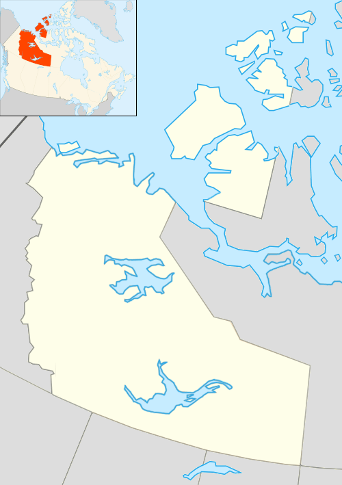 CTM& Location in the Northwest Territories | |||||||||||
| Runways | |||||||||||
| |||||||||||
|
Sources: Canada Flight Supplement[1] | |||||||||||
Tundra Mine/Salamita Mine Aerodrome (TC LID: CTM7) is a registered aerodrome that served the Tundra and Salamita Mines in the Northwest Territories, Canada.
References
- ↑ Canada Flight Supplement. Effective 0901Z 15 September 2016 to 0901Z 10 November 2016
| By name | |
|---|---|
| By location indicator | |
| By province/territory | |
| By region | |
| National Airports System | |
| Related | |
| |
This article is issued from Wikipedia - version of the 12/4/2016. The text is available under the Creative Commons Attribution/Share Alike but additional terms may apply for the media files.