Trona Airport
| Trona Airport | |||||||||||
|---|---|---|---|---|---|---|---|---|---|---|---|
| IATA: TRH – ICAO: none – FAA LID: L72 | |||||||||||
| Summary | |||||||||||
| Airport type | Public | ||||||||||
| Owner | US Department of the Interior, Bureau of Land Management | ||||||||||
| Serves | Trona, California | ||||||||||
| Elevation AMSL | 1,718 ft / 524 m | ||||||||||
| Coordinates | 35°48′46″N 117°19′37″W / 35.81278°N 117.32694°WCoordinates: 35°48′46″N 117°19′37″W / 35.81278°N 117.32694°W | ||||||||||
| Map | |||||||||||
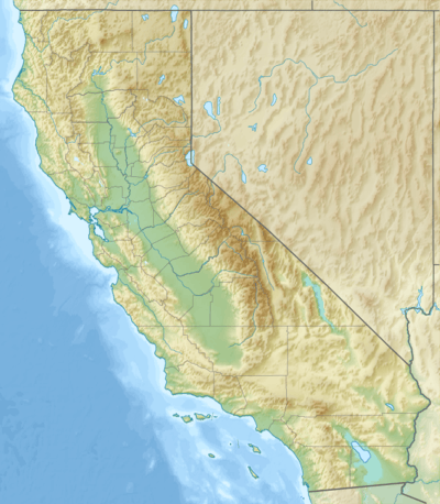 L72 Location of airport in California | |||||||||||
| Runways | |||||||||||
| |||||||||||
| Helipads | |||||||||||
| |||||||||||
| Statistics (2012) | |||||||||||
| |||||||||||
Trona Airport (IATA: TRH[2], FAA LID: L72) is a public use airport in Inyo County, California, United States. The airport is owned by the United States Department of the Interior, Bureau of Land Management and located four nautical miles (7.4 km) north of the central business district of Trona, California.[1] It is included in the National Plan of Integrated Airport Systems for 2011–2015, which categorized it as a general aviation facility.[3]
Although most U.S. airports use the same three-letter location identifier for the FAA and IATA, this airport is assigned L72 by the FAA[1] but has the designation TRH from the IATA.[4]
History
During World War II it was an outlying field to Marine Corp Mojave Airfield The airport was served by Golden West Airlines during the 1970s with scheduled passenger flights to Los Angeles (LAX).
Facilities and aircraft
Trona Airport covers an area of 150 acres (61 ha) at an elevation of 1,718 feet (524 m) above mean sea level. It has one runway designated 17/35 with an asphalt surface measuring 5,910 by 60 feet (1,801 x 18 m). It also has one helipad designated H1 with an asphalt surface measuring 52 by 52 feet (16 x 16 m).[1]
For the 12-month period ending April 9, 2012, the airport had 7,000 general aviation aircraft operations, an average of 19 per day. At that time there were two ultralight aircraft based at this airport.[1]
References
- 1 2 3 4 5 FAA Airport Master Record for L72 (Form 5010 PDF). Federal Aviation Administration. Effective November 15, 2012.
- ↑ "IATA Airport Code Search (TRH: Trona)". International Air Transport Association. Retrieved June 13, 2014.
- ↑ "2011–2015 NPIAS Report, Appendix A" (PDF, 2.03 MB). National Plan of Integrated Airport Systems. Federal Aviation Administration. October 4, 2010. External link in
|work=(help) - ↑ "TRH - Trona, California - Trona Airport". Great Circle Mapper. Retrieved August 30, 2009.
External links
- WW2 Military Airfields including Auxiliaries and Support fields: Alabama - California
- Aerial photo as of May 1994 from USGS The National Map
- Resources for this airport:
- FAA airport information for L72
- AirNav airport information for L72
- FlightAware airport information and live flight tracker
- SkyVector aeronautical chart for L72