Towthorpe, East Riding of Yorkshire
Coordinates: 54°03′15″N 0°37′29″W / 54.054187°N 0.624789°W
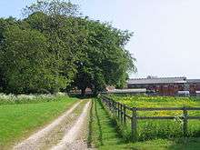
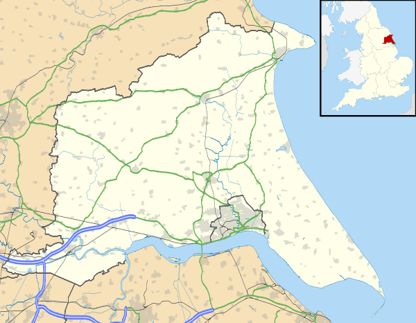
Towthorpe is a hamlet in the East Riding of Yorkshire, England, it forms part of the civil parish of Fimber. It is situated in the Yorkshire Wolds just north of the B1248 road, approximately 8 miles (13 km) north-west of Driffield and 2 miles (3 km) south-west of Sledmere.

Towthorpe
References
- Gazetteer — A–Z of Towns Villages and Hamlets. East Riding of Yorkshire Council. 2006. p. 11.
External links
| Wikimedia Commons has media related to Towthorpe. |
- Towthorpe in the Domesday Book
This article is issued from Wikipedia - version of the 1/24/2016. The text is available under the Creative Commons Attribution/Share Alike but additional terms may apply for the media files.
