Tin El Koum
| Tin El Koum | |
|---|---|
| Village | |
 Tin El Koum | |
| Coordinates: DZ 24°35′26″N 10°11′40″E / 24.59056°N 10.19444°ECoordinates: DZ 24°35′26″N 10°11′40″E / 24.59056°N 10.19444°E | |
| Country |
|
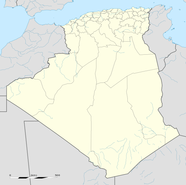
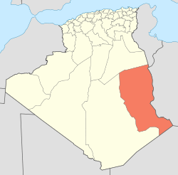
| Province | Illizi Province |
| District | Djanet District |
| Commune | Djanet[1] |
| Elevation | 735 m (2,411 ft) |
| Time zone | CET (UTC+1) |
Tin El Koum (also written Tin Alkoum) is a village in the commune of Djanet,[1] in Djanet District, Illizi Province, Algeria. It is located in the same valley as Ghat in Libya, deep within in the south-eastern Tassili N'Ajjer mountain range, east of Djanet.[2] It is the location of a border crossing into Libya which is controlled by independent Tuareg militias in the Libyan civil war.[3]
References
- 1 2 "Décret n° 84-365, fixant la composition, la consistance et les limites territoriale des communes. Wilaya d'El Oued" (PDF) (in French). Journal officiel de la République Algérienne,. 19 December 1984. p. 1554. Archived from the original (PDF) on 2 March 2013 or before. Retrieved 2 March 2013. Check date values in:
|archive-date=(help) - ↑ "Tin Alkoum, Algeria". Geonames.org. Retrieved 27 May 2013.
- ↑ "Algeria thwarts Mali arms smuggling". Magharebia. Retrieved 27 May 2013.
Neighbouring towns and cities
 |
Illizi Imehrou |
Ghat (Libya) | Ubari (Libya) | |
| Djanet Tamanrasset |
|
Murzuq Desert | ||
| ||||
| | ||||
| In Guezzam (Tamanrasset) | Iferouane (Niger) |
This article is issued from Wikipedia - version of the 8/13/2016. The text is available under the Creative Commons Attribution/Share Alike but additional terms may apply for the media files.