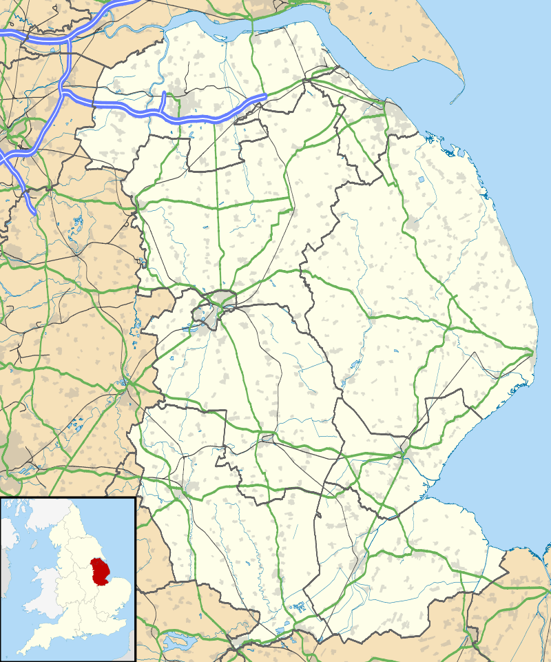
Thorpe St Peter
| Thorpe St Peter | |
 St Peter's Church, Thorpe St Peter |
|
 Thorpe St Peter |
|
| Population | 320 (2011)[1] |
|---|---|
| OS grid reference | TF484606 |
| – London | 115 mi (185 km) S |
| District | East Lindsey |
| Shire county | Lincolnshire |
| Region | East Midlands |
| Country | England |
| Sovereign state | United Kingdom |
| Post town | Skegness |
| Postcode district | PE24 |
| Police | Lincolnshire |
| Fire | Lincolnshire |
| Ambulance | East Midlands |
| EU Parliament | East Midlands |
| UK Parliament | Boston and Skegness |
|
|
Coordinates: 53°07′22″N 0°12′58″E / 53.122815°N 0.216230°E
Thorpe St Peter is a village and civil parish in the East Lindsey district of Lincolnshire, England, about 1 mile (1.6 km) north-west from the town of Wainfleet.
Thorpe is listed in the Domesday Book of 1086 as having 33 households, two mills and a church.[2]
The parish church, dedicated to Saint Peter is a Grade I listed building dating from 1200 with later additions and alterations, and restored in the 19th century. It is built of greenstone and limestone. The west tower dates from the mid-14th century, and there is an early 13th-century font.[3]
Thorpe Culvert railway station was opened here in 1873.[4]
References
- ↑ "Parish population 2011". Retrieved 18 August 2015.
- ↑ Thorpe St Peter in the Domesday Book. Retrieved 14 August 2011.
- ↑ Historic England. "Church of St Peter, Thorpe St Peter (1223796)". National Heritage List for England. Retrieved 14 August 2011.
- ↑ Historic England. "Thorpe Culvert railway station (507093)". PastScape. Retrieved 14 August 2011.
External links
 Media related to Thorpe St Peter at Wikimedia Commons
This article is issued from Wikipedia - version of the 8/18/2015. The text is available under the Creative Commons Attribution/Share Alike but additional terms may apply for the media files.