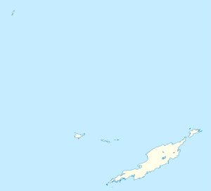
The Farrington
| The Farrington | |
|---|---|
| District | |
 The Farrington | |
| Coordinates: GB 18°12′46″N 63°01′48″W / 18.21280°N 63.03002°W | |
| Country |
|
| Overseas Territory | Anguilla |
| Population (2012) | |
| • Total | 1,199 |
The Farrington is one of the fourteen Districts of Anguilla. Its population at the 2001 census was 546.[1]
Demographics
| Year | 1984 | 1994 | 2001 |
|---|---|---|---|
| Population | 222 | 304 | 546 [2] |
References
- ↑ Districts of Anguilla at statoids.com
- ↑ Anguilla census data at Statoids.com
Coordinates: 18°12′46″N 63°01′48″W / 18.21280°N 63.03002°W
This article is issued from Wikipedia - version of the 6/8/2014. The text is available under the Creative Commons Attribution/Share Alike but additional terms may apply for the media files.