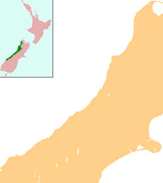
Te Taho
| Te Taho | |
|---|---|
 Te Taho | |
| Coordinates: 43°12′29″S 170°27′7″E / 43.20806°S 170.45194°E | |
| Country | New Zealand |
| Region | West Coast |
| District | Westland District |
Te Taho is a small farming community of eleven houses in the West Coast region of the South Island of New Zealand between the north bank of the Whataroa River and Mt Hercules. It is located slightly inland from the coast.
State Highway 6 passes through Te Taho on its route from Hari Hari to Whataroa. Te Taho once included a maternity hospital and a number of schools.
Coordinates: 43°13′S 170°26′E / 43.217°S 170.433°E
This article is issued from Wikipedia - version of the 8/30/2015. The text is available under the Creative Commons Attribution/Share Alike but additional terms may apply for the media files.