Suomen leijona
 The modern marker light / radio beacon | |
 | |
| Location | Baltic Sea |
|---|---|
| Coordinates | 59°28.362′N 20°48.784′E / 59.472700°N 20.813067°E |
| Year first constructed | 2005 |
| Foundation | concrete |
| Construction | steel, fitted with a light, radar reflector and radio beacon powered by a wind generator |
| Tower shape | columnar |
| Markings / pattern | White tower, orange band[1] |
| Height | 13 m (43 ft)[1] |
| Range | 9 nmi (17 km; 10 mi) light, 12 nmi (22 km; 14 mi) RACON[1] |
| Characteristic | White flashing light in groups of 2 with a period of 12 seconds, RACON T(-) period 30 seconds [1] |
| Admiralty number | C4487[1] |
| NGA number | 16098[1] |
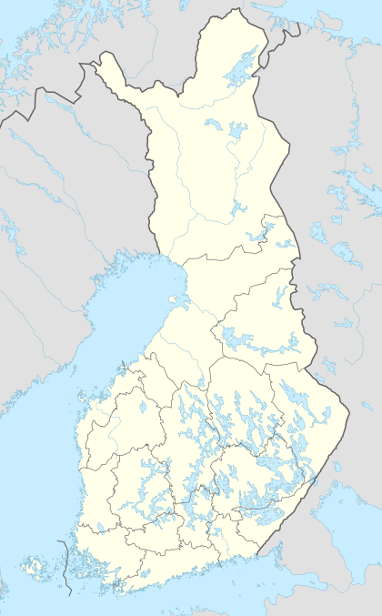
Suomen leijona (Swedish: Finlands lejon), The Lion of Finland, is a marker light and radio beacon in the Northern Baltic Sea operated by the Finnish Maritime Administration, located approximately 46 km (25 nmi; 29 mi) Southwest of the island of Utö, six kilometers outside the Finnish territorial waters but inside the country's exclusive economic zone.[1]
Suomen leijona lighthouse
The original Suomen leijona (Swedish: Finlands lejon), The Lion of Finland, was a caisson lighthouse; a steel tower resting on a concrete caisson, equipped with a helicopter platform and powered by a wind generator. The lighthouse had a futuristic design with a helipad on the top of a downward tapering tower, which made great demands on the foundation and the bottom of the tower. In 1992 it was discovered that the foundation had been under-mined and that the lighthouse was threatening to collapse. The problem was remedied by filling with rubble, but the problem recurred in 2004. Deemed too dangerous to repair the lighthouse, it was demolished in 2005 and replaced by the much smaller, marker light / radio beacon.
References
- 1 2 3 4 5 6 7 LIST OF LIGHTS, RADIO AIDS AND FOG SIGNALS 2014 BALTIC SEA WITH KATTEGAT, BELTS AND SOUND AND GULF OF BOTHNIA, p. 216. National Geospatial-Intelligence Agancy. Retrieved 12 August 2014.