Sumner Lake State Park
| Sumner Lake State Park | |
| New Mexico State Park | |
| Country | United States |
|---|---|
| State | New Mexico |
| County | De Baca |
| Location | Fort Sumner |
| - elevation | 4,300 ft (1,311 m) |
| - coordinates | 34°36′28″N 104°23′15″W / 34.60778°N 104.38750°WCoordinates: 34°36′28″N 104°23′15″W / 34.60778°N 104.38750°W |
| Area | 6,700 acres (2,700 ha) |
| Founded | 1966 [1] |
| Management | New Mexico State Parks Division |
| Owner | U.S. Bureau of Reclamation [1] |
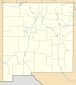
 Location of Sumner Lake State Park in New Mexico
| |
Sumner Lake State Park is a state park of New Mexico, United States, located on the eastern plains about 8 miles (13 km) northwest of Fort Sumner.
The park features a large 4,500-acre (18 km2) reservoir on the Pecos River, created in 1939 by the Sumner Dam of the United States Bureau of Reclamation. The reservoir is home to various fish species including largemouth bass, catfish, crappie and walleye. The park elevation is 4,300 feet (1,300 m) above sea level.[2]
References
- 1 2 "Sumner Lake State Park Management Plan" (PDF). June 2006. Retrieved January 24, 2011.
- ↑ New Mexico State Parks Division. "Sumner Lake State Park". New Mexico Energy, Minerals and Natural Resources Department.
External links
This article is issued from Wikipedia - version of the 3/5/2013. The text is available under the Creative Commons Attribution/Share Alike but additional terms may apply for the media files.