Spitzerberg Airport
| Spitzerberg Airport Flugplatz Spitzerberg | |||||||||||
|---|---|---|---|---|---|---|---|---|---|---|---|
| IATA: none – ICAO: LOAS | |||||||||||
| Summary | |||||||||||
| Airport type | Private | ||||||||||
| Serves | Hundsheim | ||||||||||
| Location | Austria | ||||||||||
| Elevation AMSL | 620 ft / 189 m | ||||||||||
| Coordinates | 48°5′55.7″N 016°55′59.9″E / 48.098806°N 16.933306°ECoordinates: 48°5′55.7″N 016°55′59.9″E / 48.098806°N 16.933306°E | ||||||||||
| Map | |||||||||||
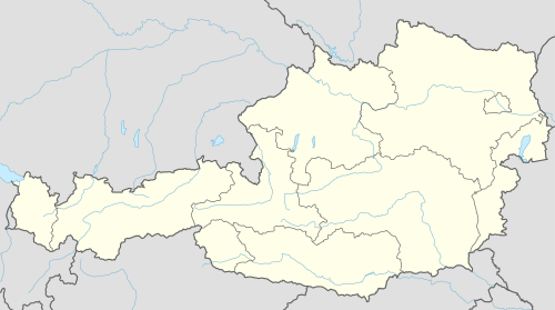 LOAS Location of Spitzerberg Airport in Austria | |||||||||||
| Runways | |||||||||||
| |||||||||||
Spitzerberg Airport (German: Flugplatz Spitzerberg, ICAO: LOAS) is a private use airport in Hundsheim, Lower Austria, Austria. The airport is located at the foot of the Spitzerberg. Part of the runway is included in the Spitzerberg nature reserve.
See also
References
- ↑ Airport record for Spitzerberg Airport at Landings.com. Retrieved 1 September 2013
- ↑ Google (1 September 2013). "location of Spitzerberg Airport" (Map). Google Maps. Google. Retrieved 1 September 2013.
External links
- Airport record for Spitzerberg Airport at Landings.com
This article is issued from Wikipedia - version of the 11/10/2016. The text is available under the Creative Commons Attribution/Share Alike but additional terms may apply for the media files.