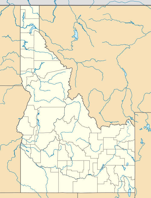
Snowbank Mountain (Idaho)
| Snowbank Mountain | |
|---|---|
 Snowbank Mountain | |
| Highest point | |
| Elevation | 8,320 ft (2,540 m) |
| Prominence | 3,080 ft (940 m) [1] |
| Isolation | 21.92 mi (35.28 km) [1] |
| Coordinates | 44°26′25″N 116°07′35″W / 44.4402224°N 116.12648°WCoordinates: 44°26′25″N 116°07′35″W / 44.4402224°N 116.12648°W [2] |
| Geography | |
| Location | Valley County, Idaho, United States |
| Parent range | West Mountains |
| Topo map | USGS Tripod Peak |
| Climbing | |
| Easiest route | Hiking, class 1 |
Snowbank Mountain is the highest point in the West Mountains, in Boise National Forest, Idaho with a summit elevation of 8,320 feet (2,540 m) above sea level. It is located 21.92 miles (35.28 km) from Nick Peak, its line parent, giving it a prominence of 3,080 feet (940 m).[1] The east side of Snowbank Mountain is drained by the North Fork Payette River, while the west side is drained by Squaw Creek, which is also a tributary of the Payette River.[3]
References
- 1 2 3 "Snowbank Mountain, Idaho". Peakbagger.com. Retrieved December 27, 2014.
- ↑ "Snowbank Mountain". Geographic Names Information System. United States Geological Survey. Retrieved December 27, 2014.
- ↑ Boise National Forest (Map). 1:126720. U.S. Forest Service. 2012.
This article is issued from Wikipedia - version of the 12/23/2015. The text is available under the Creative Commons Attribution/Share Alike but additional terms may apply for the media files.