Sixteenmile Creek (Ontario)
For other places with the same name, see Sixteenmile Creek.
| Sixteenmile Creek | |
| River | |
| Country | Canada |
|---|---|
| Province | Ontario |
| Region | Southwestern Ontario |
| County | Elgin |
| Municipality | West Elgin |
| Part of | Great Lakes Basin |
| Source | field |
| - elevation | 215 m (705 ft) |
| - coordinates | 42°35′14″N 81°41′05″W / 42.58722°N 81.68472°W |
| Mouth | Lake Erie |
| - elevation | 173 m (568 ft) |
| - coordinates | 42°30′22″N 81°36′46″W / 42.50611°N 81.61278°WCoordinates: 42°30′22″N 81°36′46″W / 42.50611°N 81.61278°W |
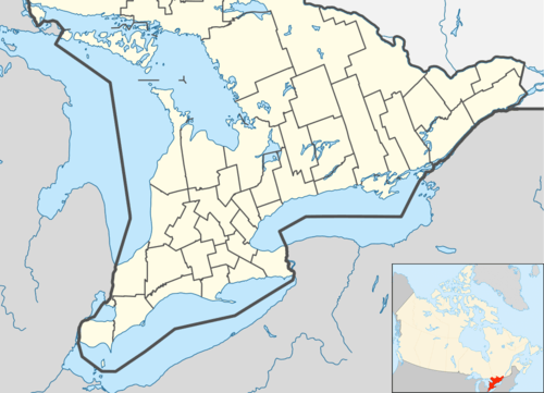 Location of the mouth of Sixteenmile Creek in southern Ontario | |
Sixteenmile Creek is a stream in the municipality of West Elgin, Elgin County in Southwestern Ontario, Canada.[1] It is part of the Great Lakes Basin, and flows from a point just south of Ontario Highway 401 east of exit 129 through the community of Rodney, past the community of New Glasgow, to its mouth at the community of Port Glasgow on Lake Erie.
References
- ↑ "Sixteenmile Creek". Geographical Names Data Base. Natural Resources Canada. Retrieved 2014-04-18.
Other map sources:
- Map 1 (PDF) (Map). 1 : 700,000. Official road map of Ontario. Ministry of Transportation of Ontario. 2010-01-01. Retrieved 2014-04-18.
- Restructured municipalities - Ontario map #6 (Map). Restructuring Maps of Ontario. Ontario Ministry of Municipal Affairs and Housing. 2006. Retrieved 2014-04-18.
Great Lakes of North America | ||
|---|---|---|
| Main lakes |  | |
| Secondary lakes | ||
| Bays and Waterways |
| |
| Islands | ||
| Historic geology | ||
| Government | ||
| Related topics |
| |
This article is issued from Wikipedia - version of the 4/22/2014. The text is available under the Creative Commons Attribution/Share Alike but additional terms may apply for the media files.