Sevy Peak
| Sevy Peak | |
|---|---|
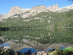 Sevy Peak right of center, left of the Finger of Fate from Hell Roaring Lake | |
| Highest point | |
| Elevation | 10,480 ft (3,190 m) |
| Prominence | 440 ft (130 m) [1] |
| Parent peak | Dave's Peak |
| Coordinates | 44°01′29″N 114°58′23″W / 44.0246274°N 114.9731356°WCoordinates: 44°01′29″N 114°58′23″W / 44.0246274°N 114.9731356°W [2] |
| Geography | |
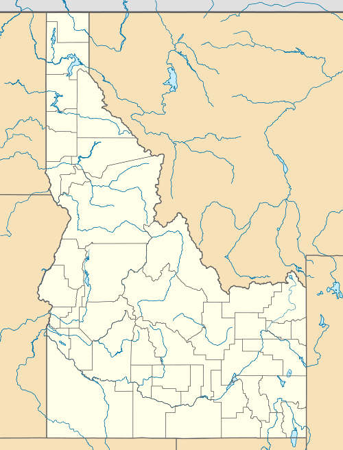 Sevy Peak Custer County, Idaho, U.S. | |
| Parent range | Sawtooth Range |
| Topo map | USGS Mount Cramer |
| Climbing | |
| Easiest route | class 5.4 |
Sevy Peak, at 10,480 feet (3,190 m) above sea level is a peak in the Sawtooth Range of Idaho. The peak is located in the Sawtooth Wilderness of Sawtooth National Recreation Area in Custer County. The peak is located 0.39 mi (0.63 km) north-northeast of Dave's Peak, its line parent. It is 1.3 mi (2.1 km) south of Decker Peak.[3][4][5]
References
- ↑ "Mount Sevy, Idaho". Peakbagger.com. Retrieved January 3, 2013.
- ↑ "Sevy Peak". Geographic Names Information System. United States Geological Survey. Retrieved January 3, 2013.
- ↑ Sawtooth National Forest (Map) (1998 ed.). Sawtooth National Forest, U.S. Forest Service.
- ↑ "Decker Peak". SummitPost.org. Retrieved January 3, 2013.
- ↑ "Mount Sevy". Lists of John. Retrieved January 3, 2013.
This article is issued from Wikipedia - version of the 2/25/2016. The text is available under the Creative Commons Attribution/Share Alike but additional terms may apply for the media files.