Scharnstein Airport
| Scharnstein Airport Flugplatz Scharnstein | |||||||||||
|---|---|---|---|---|---|---|---|---|---|---|---|
| IATA: none – ICAO: LOLC | |||||||||||
| Summary | |||||||||||
| Airport type | Private | ||||||||||
| Serves | Scharnstein | ||||||||||
| Location | Austria | ||||||||||
| Elevation AMSL | 1,745 ft / 532 m | ||||||||||
| Coordinates | 47°53′52.2″N 013°56′17.5″E / 47.897833°N 13.938194°ECoordinates: 47°53′52.2″N 013°56′17.5″E / 47.897833°N 13.938194°E | ||||||||||
| Map | |||||||||||
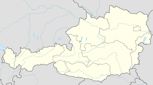 LOLC Location of Scharnstein Airport in Austria | |||||||||||
| Runways | |||||||||||
| |||||||||||
Scharnstein Airport (German: Flugplatz Scharnstein, ICAO: LOLC) is a private use airport located 2 kilometres (1 mi) west-southwest of Scharnstein, Upper Austria, Austria.
See also
References
- ↑ Airport record for Scharnstein Airport at Landings.com. Retrieved 1 September 2013
- ↑ Google (1 September 2013). "location of Scharnstein Airport" (Map). Google Maps. Google. Retrieved 1 September 2013.
External links
- Airport record for Scharnstein Airport at Landings.com
This article is issued from Wikipedia - version of the 11/10/2016. The text is available under the Creative Commons Attribution/Share Alike but additional terms may apply for the media files.