Sault Ste. Marie Water Aerodrome
| Sault Ste. Marie Water Aerodrome | |||||||||||
|---|---|---|---|---|---|---|---|---|---|---|---|
 | |||||||||||
| IATA: none – ICAO: none – TC LID: CPX8 | |||||||||||
| Summary | |||||||||||
| Airport type | Public | ||||||||||
| Operator | Canadian Bushplane Heritage Centre | ||||||||||
| Location | Sault Ste. Marie, Ontario | ||||||||||
| Time zone | EST (UTC−05:00) | ||||||||||
| • Summer (DST) | EDT (UTC−04:00) | ||||||||||
| Elevation AMSL | 580 ft / 177 m | ||||||||||
| Coordinates | 46°30′15″N 084°19′29″W / 46.50417°N 84.32472°WCoordinates: 46°30′15″N 084°19′29″W / 46.50417°N 84.32472°W | ||||||||||
| Website | www.bushplane.com/fly-in-information | ||||||||||
| Map | |||||||||||
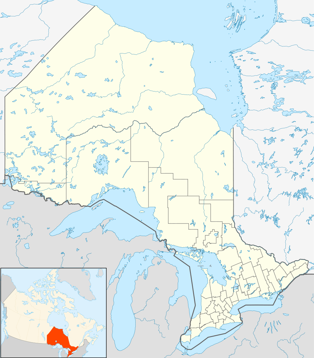 CPX8 Location in Ontario | |||||||||||
| Runways | |||||||||||
| |||||||||||
|
Source: Water Aerodrome Supplement[1] | |||||||||||
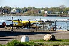
Sault Ste. Marie Water Aerodrome, (TC LID: CPX8), is located adjacent on the St. Marys River in Sault Ste. Marie, Ontario, Canada.
Sault Ste Marie Water Aerodrome services the Canadian Bushplane Heritage Centre, a museum which features many interactive bush plane, forestry, and aerial firefighting exhibits. Several aircraft are also under restoration at the centre, notably the CFT-ODM Bell 47D-1
See also
- Sault Ste. Marie Airport
- Sault Ste. Marie/Partridge Point Water Aerodrome
-
 Media related to Sault Ste. Marie Water Aerodrome at Wikimedia Commons
References
- ↑ Nav Canada's Water Aerodrome Supplement. Effective 0901Z 7 March 2013 to 0901Z 3 April 2014
| By name | |
|---|---|
| By location indicator | |
| By province/territory | |
| By region | |
| National Airports System | |
| Related | |
| |
This article is issued from Wikipedia - version of the 12/4/2016. The text is available under the Creative Commons Attribution/Share Alike but additional terms may apply for the media files.