San Juan de Marcona Airport
| San Juan de Marcona Airport | |||||||||||
|---|---|---|---|---|---|---|---|---|---|---|---|
| IATA: SJA – ICAO: SPJN | |||||||||||
| Summary | |||||||||||
| Airport type | Public | ||||||||||
| Serves | San Juan de Marcona | ||||||||||
| Elevation AMSL | 144 ft / 44 m | ||||||||||
| Coordinates | 15°21′10″S 75°08′15″W / 15.35278°S 75.13750°WCoordinates: 15°21′10″S 75°08′15″W / 15.35278°S 75.13750°W | ||||||||||
| Map | |||||||||||
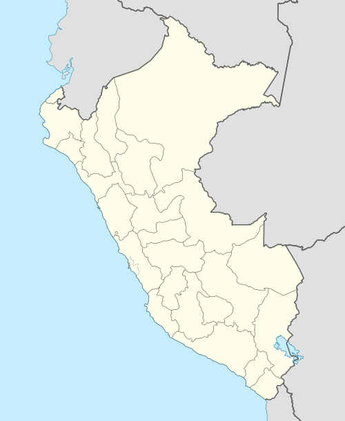 SPJN Location of the airport in Peru | |||||||||||
| Runways | |||||||||||
| |||||||||||
San Juan de Marcona Airport (ICAO: SPJN) is an airport serving city of San Juan de Marcona, the capital of the Ica Region of Peru, and the Marcona Naval Base.
The runway is in the desert 2.7 kilometres (1.7 mi) northeast of the town, and has an additional 800 metres (2,600 ft) of overrun on its southeastern end.
The San Juan de Marcona VOR-DME (Ident: SJN) is 7.0 nautical miles (13.0 km) north-northeast of the airport.[3]
See also
References
- ↑ Airport information for SJA at Great Circle Mapper.
- ↑ Google Maps - San Juan de Marcona
- ↑ OurAirports - SJN VOR
External links
- OpenStreetMap - San Juan de Marcona
- OurAirports - San Juan de Marcona
- SkyVector - San Juan de Marcona
This article is issued from Wikipedia - version of the 12/5/2016. The text is available under the Creative Commons Attribution/Share Alike but additional terms may apply for the media files.