Rushing River Provincial Park
| Rushing River Provincial Park | |
|---|---|
|
IUCN category II (national park) | |
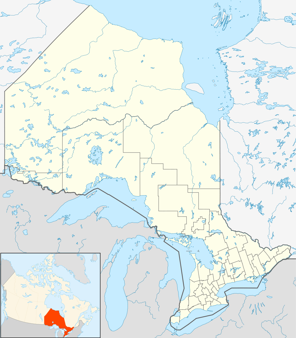 | |
| Location | Ontario, Canada |
| Nearest city | Kenora |
| Coordinates | 49°40′54″N 94°14′09″W / 49.6816°N 94.2359°WCoordinates: 49°40′54″N 94°14′09″W / 49.6816°N 94.2359°W[1] |
| Established | 1958[2] |
|
www | |
Rushing River is 20 kilometres (12 mi) southeast of Kenora. The park has predominantly glacial features. Swimming, boating, boat rental, fishing, hiking, including electrical sites can be found in the park.
References
- ↑ "Welcome to Rushing River Provincial Park". Ontario Parks. Archived from the original on 27 August 2014.
- ↑ "Rushing River Provincial Park - Recreation". Protected Planet. Archived from the original on 27 August 2014.
External links
This article is issued from Wikipedia - version of the 11/19/2016. The text is available under the Creative Commons Attribution/Share Alike but additional terms may apply for the media files.