Runchu
| Runchu | |
|---|---|
 Runchu Peru | |
| Highest point | |
| Elevation | 5,165 m (16,946 ft) [1] |
| Coordinates | 12°11′53″S 76°03′19″W / 12.19806°S 76.05528°WCoordinates: 12°11′53″S 76°03′19″W / 12.19806°S 76.05528°W |
| Geography | |
| Location | Peru, Lima Region |
| Parent range | Andes, Cordillera Central |
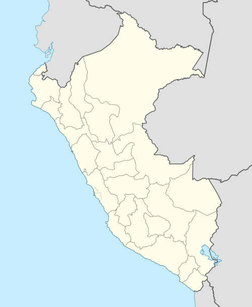
Runchu (Quechua for shrew opossum,[2] also spelled Runcho) is a 5,165-metre (16,946 ft) high mountain in the Cordillera Central in the Andes of Peru. It is located in the Lima Region, Yauyos Province, on the border of the districts of San Joaquín and Tanta. Runchu lies northwest of Tikllaqucha.[1][3] It is situated on the western border of the Nor Yauyos-Cochas Landscape Reserve.[4]
References
- 1 2 "Nevado Runcho". IGN, Peru. Retrieved May 7, 2015.
- ↑ Wilmer E. Pozo R.1 and Fredy Trujillo G., Lista anotada de la fauna de la Laguna Loreto, Reserva Ecológica Cayambe Coca, Ecuador, Laboratorio de Zoología, Centro de Investigaciones Científicas del IASA, Facultad de Ciencias Agropecuarias, Sangolquí – Ecuador, p. 37
- ↑ escale.minedu.gob.pe - UGEL map of the Yauyos Province (Lima Region)
- ↑ ParksWatch, Park Profile - Peru Nor Yauyos – Cochas Landscape Reserve, p. 6
This article is issued from Wikipedia - version of the 12/6/2015. The text is available under the Creative Commons Attribution/Share Alike but additional terms may apply for the media files.