Richetli Pass
| Richetli Pass | |
|---|---|
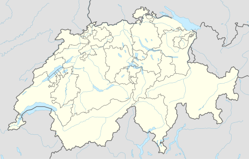 Richetli Pass Location in Switzerland | |
| Elevation | 2,261 m (7,418 ft) |
| Traversed by | Trail |
| Location | Glarus, Switzerland |
| Range | Glarus Alps |
| Coordinates | 46°53′52.5″N 09°04′02.5″E / 46.897917°N 9.067361°ECoordinates: 46°53′52.5″N 09°04′02.5″E / 46.897917°N 9.067361°E |
The Richetli Pass (German: Richetlipass) is a high mountain pass in the Glarus Alps in the Swiss canton of Glarus. The pass crosses between the heads of the valleys of the Linth and the Sernf rivers, using the col between the Hausstock and Kärpf mountains, at an elevation of 2,261 m (7,418 ft).[1]
The pass is traversed by a trail, which connects the village of Elm, at an elevation of 977 m (3,205 ft) with the village of Linthal, at an elevation of 650 m (2,130 ft). The trail forms part of the Alpine Pass Route, a long-distance hiking trail across Switzerland between Sargans and Montreux.[1][2]
See also
References
- 1 2 map.geo.admin.ch (Map). Swiss Confederation. Retrieved 2015-05-15.
- ↑ Reynolds, Kev (2011). "Trek 10 - Alpine Pass Route". Trekking in the Alps. Cicerone. pp. 124–135. ISBN 978 1 85284 600 8.
External links
- Rechetli Pass on Via Alpina web site
- Richtlipass on Hikr web site
This article is issued from Wikipedia - version of the 11/28/2016. The text is available under the Creative Commons Attribution/Share Alike but additional terms may apply for the media files.