Qaruh Island
 Kuwait | |
| Location |
Qaruh Island Kuwait |
|---|---|
| Coordinates | 29°49′03.0″N 48°46′35.0″E / 29.817500°N 48.776389°E |
| Foundation | concrete basement |
| Construction | metal skeletal tower |
| Tower shape | square pyramidal tower with balcony and lantern |
| Markings / pattern | red and white horizontal bands tower |
| Height | 12 metres (39 ft) |
| Focal height | 14 metres (46 ft) |
| Light source | solar power |
| Range | 5 nautical miles (9.3 km; 5.8 mi) |
| Characteristic | Fl W 10s. |
| Admiralty number | D7569 |
| NGA number | 29316[1] [2] |
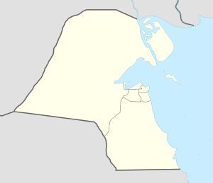
Qaruh Island (Arabic: جزيرة قاروه) is an island belonging to the state of Kuwait, which received its name from the large amounts of petroleum sediments in the area (known as Qar in Arabic). It is the smallest of the nine islands, and also the furthest island from the Kuwaiti mainland. It is located 37.5 kilometers away from the mainland, and 17 kilometers away from Umm al Maradim. The island is roughly 275 meters long by 175 meters at its widest (area about 3.5 ha. The island was also the first part of Kuwaiti soil that was liberated from Iraq during the Gulf War on January 21, 1991.
See also
References
- ↑ Kuwait The Lighthouse Directory. University of North Carolina at Chapel Hill. Retrieved 8 October 2016
- ↑ NGA List of Lights – Pub.112 Retrieved 8 October 2016
External links
Coordinates: 28°49′03″N 48°46′35″E / 28.81750°N 48.77639°E
This article is issued from Wikipedia - version of the 10/8/2016. The text is available under the Creative Commons Attribution/Share Alike but additional terms may apply for the media files.