Punkaharju Airfield
| Punkaharju Airfield Punkaharjun lentokenttä | |||||||||||
|---|---|---|---|---|---|---|---|---|---|---|---|
| IATA: none – ICAO: EFPN | |||||||||||
| Summary | |||||||||||
| Operator | Punkaharjun Lentokenttäyhdistys | ||||||||||
| Location | Punkaharju, Savonlinna, Finland | ||||||||||
| Elevation AMSL | 253 ft / 77 m | ||||||||||
| Coordinates | 61°43′44″N 029°23′37″E / 61.72889°N 29.39361°ECoordinates: 61°43′44″N 029°23′37″E / 61.72889°N 29.39361°E | ||||||||||
| Map | |||||||||||
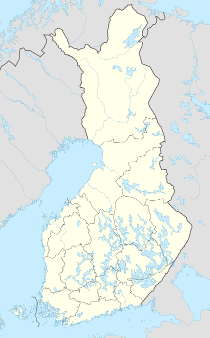 EFPN Location within Finland | |||||||||||
| Runways | |||||||||||
| |||||||||||
|
Source: VFR Finland[1] | |||||||||||
Punkaharju Airfield is an airfield in Punkaharju, Savonlinna, Finland,[1] about 3 kilometres (2 mi) south of Punkaharju municipal centre.
See also
References
- 1 2 "Punkaharju, Finland – EFPN". VFR Suomi / Finland. Vantaa: Finavia. 18 November 2010. Retrieved 10 August 2011.
External links
This article is issued from Wikipedia - version of the 12/4/2016. The text is available under the Creative Commons Attribution/Share Alike but additional terms may apply for the media files.