Piz Julier
| Piz Güglia | |
|---|---|
| Piz Julier | |
 View from St. Moritz (east side) | |
| Highest point | |
| Elevation | 3,380 m (11,090 ft) |
| Prominence | 489 m (1,604 ft) [1] |
| Isolation | 7.0 km (4.3 mi) [2] |
| Parent peak | Piz Calderas |
| Coordinates | 46°29′27.3″N 9°45′35.8″E / 46.490917°N 9.759944°ECoordinates: 46°29′27.3″N 9°45′35.8″E / 46.490917°N 9.759944°E |
| Geography | |
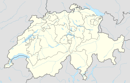 Piz Güglia Location in Switzerland | |
| Location | Graubünden, Switzerland |
| Parent range | Albula Alps |
Piz Julier (German, Romansh: Piz Güglia) is a mountain of the Albula Alps, overlooking the Julier Pass, in the Swiss canton of Graubünden. With a height of 3,380 metres above sea level, Piz Julier is the second highest peak (after Piz Calderas) of the group between the Julier Pass and the Albula Pass.
Piz Julier can be summited by experienced hikers. From the heights of St. Moritz, a trail leads to Fuorcla Albana (2,870 metres), the pass between Piz Julier and Piz Albana. From there a via ferrata, named Senda Enferrada leads to the summit.

Climbers on the normal route
References
- ↑ Retrieved from the Swisstopo topographic maps. The key col is the Fuorcla Güglia (2,891 m).
- ↑ Retrieved from Google Earth. The nearest point of higher elevation is southeast of Piz Calderas.
External links
 Media related to Piz Julier at Wikimedia Commons
- Piz Julier on Hikr
- Piz Julier on Summitpost
This article is issued from Wikipedia - version of the 5/9/2016. The text is available under the Creative Commons Attribution/Share Alike but additional terms may apply for the media files.