Ottenschlag
For Ottenschlag in Upper Austria, see Ottenschlag im Mühlkreis.
| Ottenschlag | ||
|---|---|---|
| ||
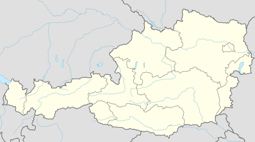 Ottenschlag Location within Austria | ||
| Coordinates: 48°25′00″N 15°13′00″E / 48.41667°N 15.21667°ECoordinates: 48°25′00″N 15°13′00″E / 48.41667°N 15.21667°E | ||
| Country | Austria | |
| State | Lower Austria | |
| District | Zwettl | |
| Government | ||
| • Mayor | Christa Jager (since 2010) (ÖVP) | |
| Area | ||
| • Total | 26.15 km2 (10.10 sq mi) | |
| Elevation | 849 m (2,785 ft) | |
| Population (1 January 2016)[1] | ||
| • Total | 998 | |
| • Density | 38/km2 (99/sq mi) | |
| Time zone | CET (UTC+1) | |
| • Summer (DST) | CEST (UTC+2) | |
| Postal code | 3631 | |
| Area code | 02872 | |
| Vehicle registration | ZT | |
| Website | www.ottenschlag.com | |

Ottenschlag is a municipality in the district of Zwettl in the Austrian state of Lower Austria.
Population
| Historical population | ||
|---|---|---|
| Year | Pop. | ±% |
| 1971 | 1,220 | — |
| 1981 | 1,202 | −1.5% |
| 1991 | 1,130 | −6.0% |
| 2001 | 1,102 | −2.5% |
References
This article is issued from Wikipedia - version of the 8/4/2014. The text is available under the Creative Commons Attribution/Share Alike but additional terms may apply for the media files.