Mont d'Arbois
| Mont d'Arbois | |
|---|---|
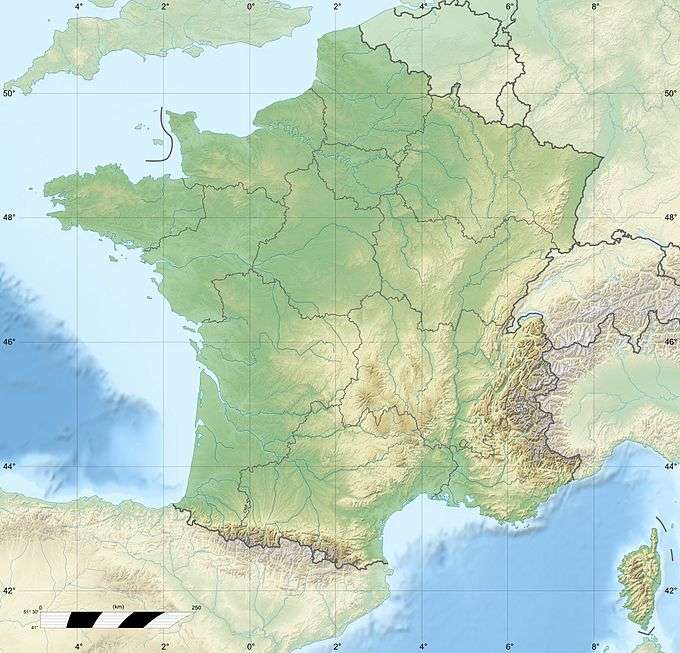 Mont d'Arbois Location in France | |
| Highest point | |
| Elevation | 1,833 m (6,014 ft) |
| Coordinates | 45°51′17″N 06°40′10″E / 45.85472°N 6.66944°ECoordinates: 45°51′17″N 06°40′10″E / 45.85472°N 6.66944°E |
| Geography | |
| Location | Haute-Savoie, France |
| Parent range | Beaufortain Massif |
Mont d'Arbois is a mountain of Haute-Savoie, France. It lies in the Beaufortain Massif range, at an altitude of 1833 metres above sea level.
History
The Mont d'Arbois is home to the Domaine du Mont d'Arbois, developed by Baroness Noémie de Rothschild in 1921.[1]
During World War II, French journalist Émile Servan-Schreiber hid here in his "Chalet Nanouk" with his Jewish family, including his Yiddish-speaking mother.[2]
References
- ↑ "Noémie de Rothschild". Stations de sports d'hiver. La Région Auvergne-Rhône-Alpes. Retrieved October 1, 2016.
- ↑ Grandjacques, Gabriel (2007). La montagne-refuge : les juifs au pays du Mont-Blanc : Saint-Gervais, Megève-- 1940-1944. Montmélian: Fontaine de Siloé. pp. 47–48. ISBN 9782842063597. OCLC 181625519.
This article is issued from Wikipedia - version of the 10/1/2016. The text is available under the Creative Commons Attribution/Share Alike but additional terms may apply for the media files.