Military Airport Aigen im Ennstal
| Military Airport Aigen im Ennstal Militärflugplatz Aigen im Ennstal | |||||||||||
|---|---|---|---|---|---|---|---|---|---|---|---|
| IATA: none – ICAO: LOXA | |||||||||||
| Summary | |||||||||||
| Airport type | Military | ||||||||||
| Serves | Aigen im Ennstal | ||||||||||
| Location | Austria | ||||||||||
| Elevation AMSL | 2,129 ft / 649 m | ||||||||||
| Coordinates | 47°32′8.5″N 014°8′29.0″E / 47.535694°N 14.141389°ECoordinates: 47°32′8.5″N 014°8′29.0″E / 47.535694°N 14.141389°E | ||||||||||
| Map | |||||||||||
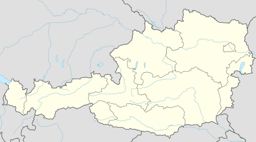 LOXA Location of Military Airport Aigen im Ennstal in Austria | |||||||||||
| Runways | |||||||||||
| |||||||||||
Military Airport Aigen im Ennstal (German: Militärflugplatz Aigen im Ennstal, ICAO: LOXA) is a military airport located 1 kilometre (0.62 mi) east of Aigen im Ennstal, Steiermark, Austria.
See also
References
- ↑ Airport record for Military Airport Aigen im Ennstal at Landings.com. Retrieved 1 September 2013
- ↑ Google (1 September 2013). "location of Military Airport Aigen im Ennstal" (Map). Google Maps. Google. Retrieved 1 September 2013.
External links
- Airport record for Military Airport Aigen im Ennstal at Landings.com
- Current weather for LOXA at NOAA/NWS
This article is issued from Wikipedia - version of the 11/9/2016. The text is available under the Creative Commons Attribution/Share Alike but additional terms may apply for the media files.