Manger (municipality)
| Manger herad | |
|---|---|
| Former Municipality | |
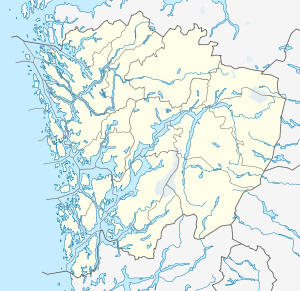 Manger herad Location in Hordaland county | |
| Coordinates: 60°38′29″N 05°02′29″E / 60.64139°N 5.04139°ECoordinates: 60°38′29″N 05°02′29″E / 60.64139°N 5.04139°E | |
| Country | Norway |
| Region | Western Norway |
| County | Hordaland |
| District | Nordhordland |
| Municipality ID | NO-1261 |
| Adm. Center | Manger |
| Area[1] | |
| • Total | 34 km2 (13 sq mi) |
| Population (1963) | |
| • Total | 1,328 |
| Time zone | CET (UTC+01:00) |
| • Summer (DST) | CEST (UTC+02:00) |
| Created as | Formannskapsdistrikt in 1838 |
| Merged into | Radøy in 1964 |
Manger is a former municipality in Hordaland county, Norway. The municipality existed from 1838 until 1964. Upon its dissolution in 1964, it encompassed 34 square kilometres (13 sq mi). The municipality originally included almost all of the island of Radøy, the northern part of the island of Holsnøy, and all the islands of Øygarden. Over time, the municipality was reduced in size several times, so that by 1964, it was just the central part of Radøy island. The administrative centre was the village of Manger where Manger Church is located.[1]
History
The parish of Manger was established as a municipality on 1 January 1838 (see formannskapsdistrikt). On 1 January 1871, the northwestern island district (population: 2,484) was separated to form the new municipality of Herdla. Then on 1 January 1910, the rest of the islands in the west of Manger (population: 986) was separated to form the new municipality of Hjelme. This left Manger with a population of 4,453. On 1 July 1924, all that was left of Manger was divided into three parts: the northern part became the new municipality of Bø, the southern part became the new municipality of Sæbø, and the remainder in the center was a much smaller Manger municipality. After this, Manger had a population of 1,426.
On 1 January 1964, a major municipal merger took place. The following places were merged to form the new municipality of Radøy.[2]
- all of the municipality of Manger (population: 1,344)
- all of the municipality of Hordabø (population: 1,679)
- the island of Bognøy from Herdla municipality (population: 29)
- most of the municipality of Sæbø, except the Titland area on the Lindås peninsula (population: 916)
- the Sletta area on the island of Radøy from Lindås municipality (population: 305)
- the Straume area on the island of Radøy and the small island of Fesøy from Austrheim municipality (population: 56)
References
- 1 2 Store norske leksikon. "Manger – kommune" (in Norwegian). Retrieved 2014-04-10.
- ↑ Jukvam, Dag (1999). "Historisk oversikt over endringer i kommune- og fylkesinndelingen" (PDF) (in Norwegian). Statistisk sentralbyrå.